


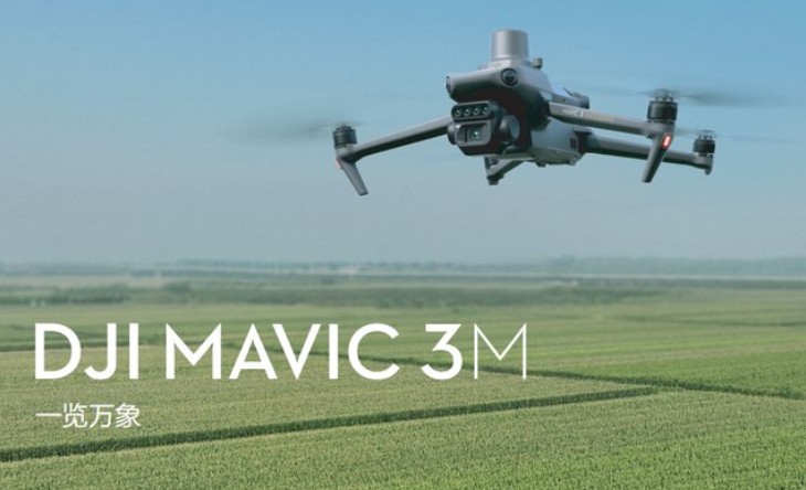
DJI DJIMavic 3M Multispectral drone comboRTK Module achieves centimeter-level high precision positioning
Shenzhen Pengjin Technology Co., Ltd. offers a variety of drone integration solutions and provides on-site demonstration services. Welcome to inquire.18320930028 Miss Lai
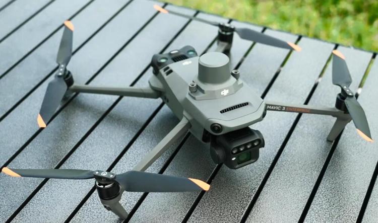
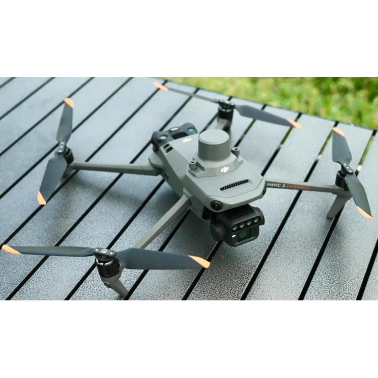
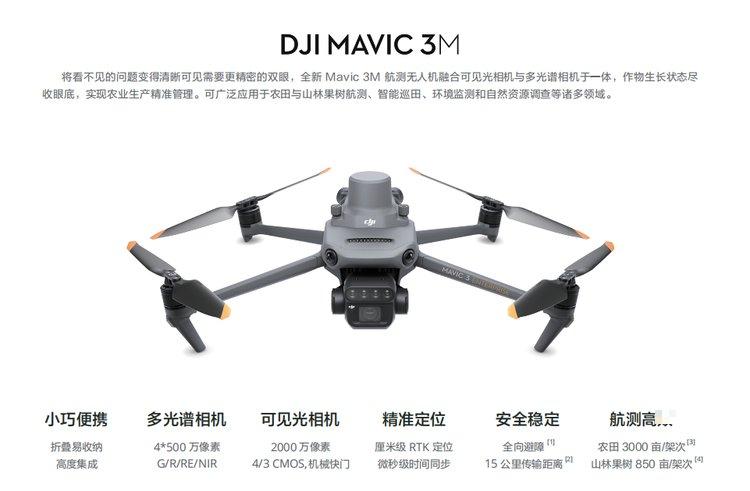
The Mavic 3M industrial drone combines visible light and multispectral cameras to understand crop growth status, enabling precise agricultural management. It can be applied to various fields such as aerial surveying of farmland and orchards, intelligent field patrol, environmental monitoring, and natural resource investigation.
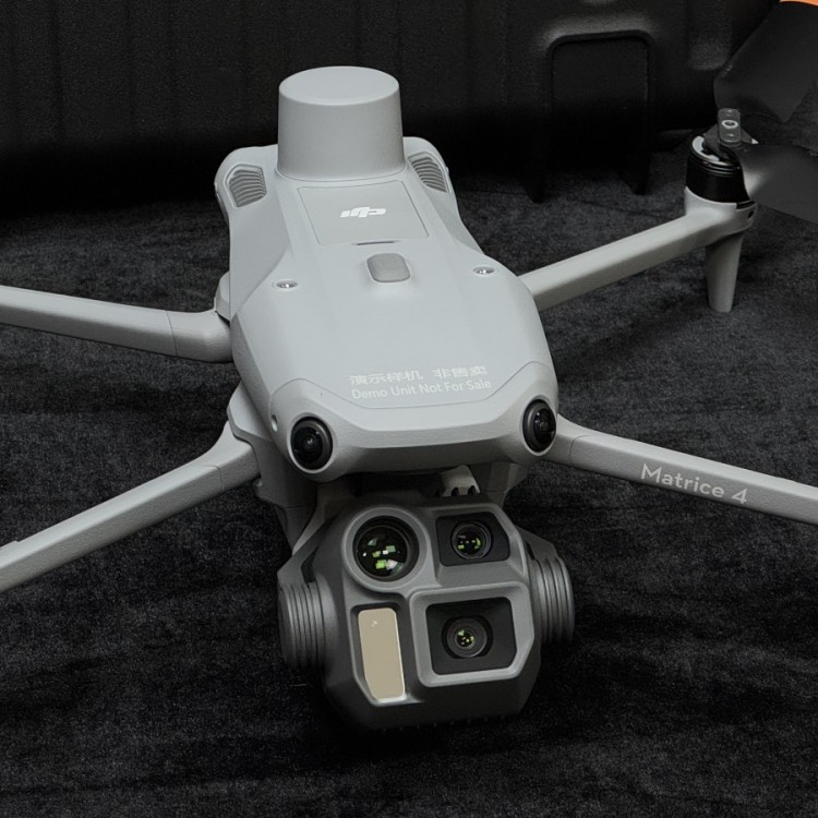
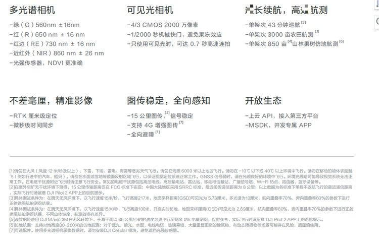
Light Intensity Sensor
The aircraft is integrated with a multispectral light intensity sensor that can collect solar irradiance and record it in image files. It can compensate for lighting data during the two-dimensional reconstruction process, resulting in more accurateNDVI results, enhancing the accuracy and consistency of data collected across different time periods.
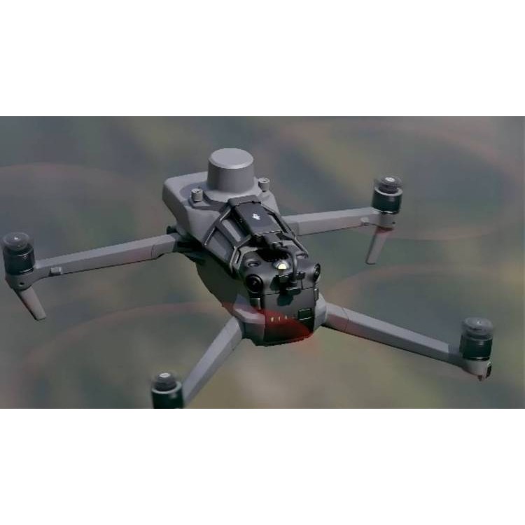
RTK Module
The Mavic 3M, paired with the RTK module, achieves centimeter-level high-precision positioning. The flight control, camera, and RTK module synchronize at the microsecond level, obtaining the position information of each camera's imaging center, allowing the Mavic 3M to perform image-free aerial surveying even at high speeds.
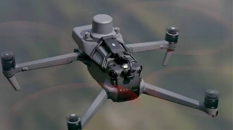
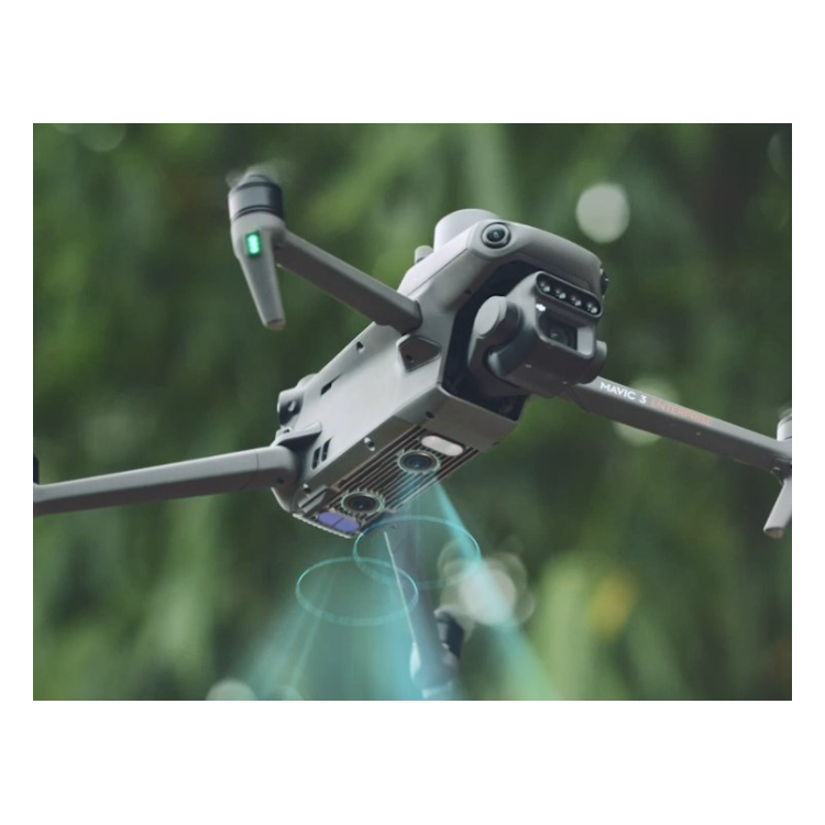
Multi-directional perception Aerial Survey Simulation
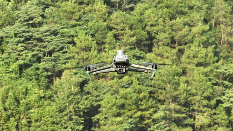
Equipped with multiple wide-angle visual sensors, accurately detects obstacles in all directions for omnidirectional obstacle avoidance. In steep mountainous terrain, combined with the visual sensors beneath the body, it can directly achieve ground-like aerial surveying, offering higher altitude forest and orchard aerial surveying.
DJI DJIMavic 3M Multispectral drone comboRTK Module achieves centimeter-level high precision positioning
Shenzhen Pengjin Technology Co., Ltd. offers a variety of drone integration solutions and provides on-site demonstration services. Welcome to inquire.18320930028 Miss Lai