
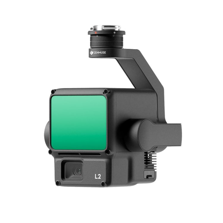

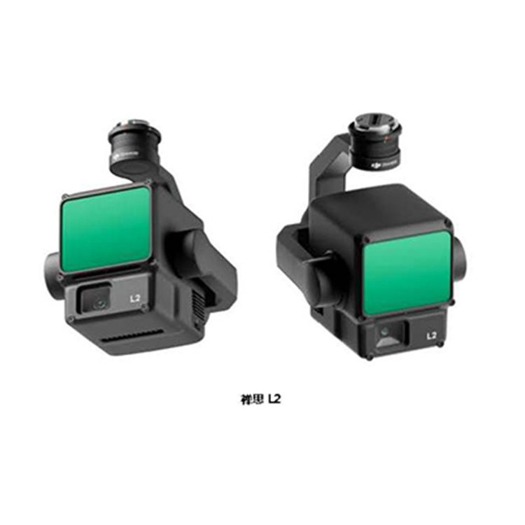


DJIZenithL2 Aboard High-Precision Integrated Surveying Lidar Mountainous Terrain Mapping 3D Realistic Modeling
Shenzhen Pengjin Technology Co., Ltd. offers a variety of drone integration solutions and provides on-site demonstration services. Welcome to inquire.18320930028 Miss Lai

L2 Product Positioning
Next-generation airborne high-precision mapping LiDAR with high integration and cost-effectiveness.
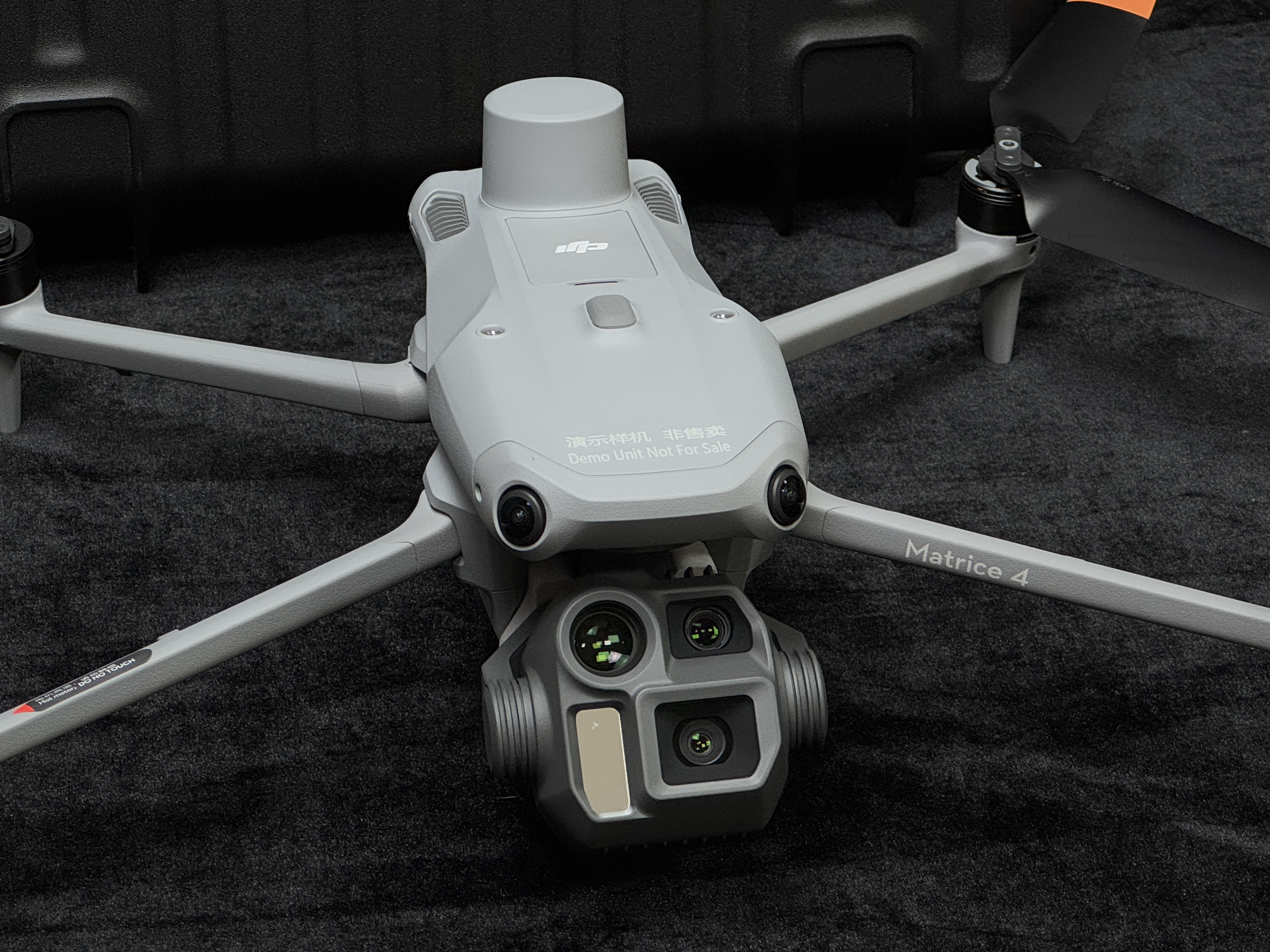
Highly integrated: frame-laser radar, high-precision self-developed inertial navigation, visible light mapping camera, and three-axis gimbal modules.
End-to-end solution: paired with DJI Maps, it becomes an integrated solution for 3D data acquisition and high-precision post-processing.
L2 Key Selling Points
High precision, within 5 cm accuracy.
High XIAO rate, 5 times improvement over the previous generation.
High penetration, capable of penetrating dense forests.
High range, 500 meters.
Five echoes
Ready to operate upon power-on
DJI Terra post-processing is free.
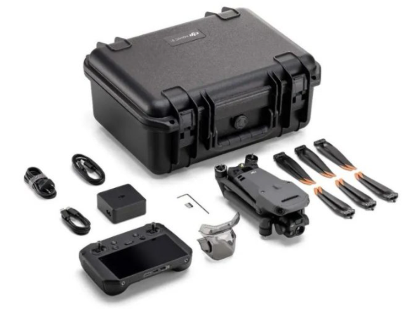
L2 Solution & Application Scenarios - Laser Radar Surveying Solution, one-stop full-process closed-loop. Includes:
1) Route Mission Planning: Pilot2 APP
2) Field Data Collection: Flying Platform (M350/M300 & RC PLUS), Payload (L2)
3) Data Processing: DJI Terra
Typical Industries/User
Surveying: Core focus on topographical surveying.
2) Construction: Core in earthwork measurement applications.
3) Power: Core on transmission line patrol
4) Forestry: Core focus on forestry surveys.

DJIContemplationL2 Airborne High-Precision Integrated Surveying LiDAR Mountainous Terrain Mapping 3D Realistic Modeling
Shenzhen Pengjin Technology Co., Ltd. offers various drone integration solutions and provides on-site demonstration services. Welcome to inquire.18320930028 Miss Lai