


DJIDJIM3TMonitor photovoltaic panel abnormal hot spot thermal imaging drone
Shenzhen Pengjin Technology Co., Ltd. offers various drone integration solutions and provides on-site demonstration services. Welcome to inquire.18320930028 Miss Lai
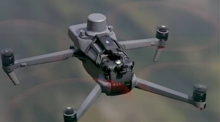
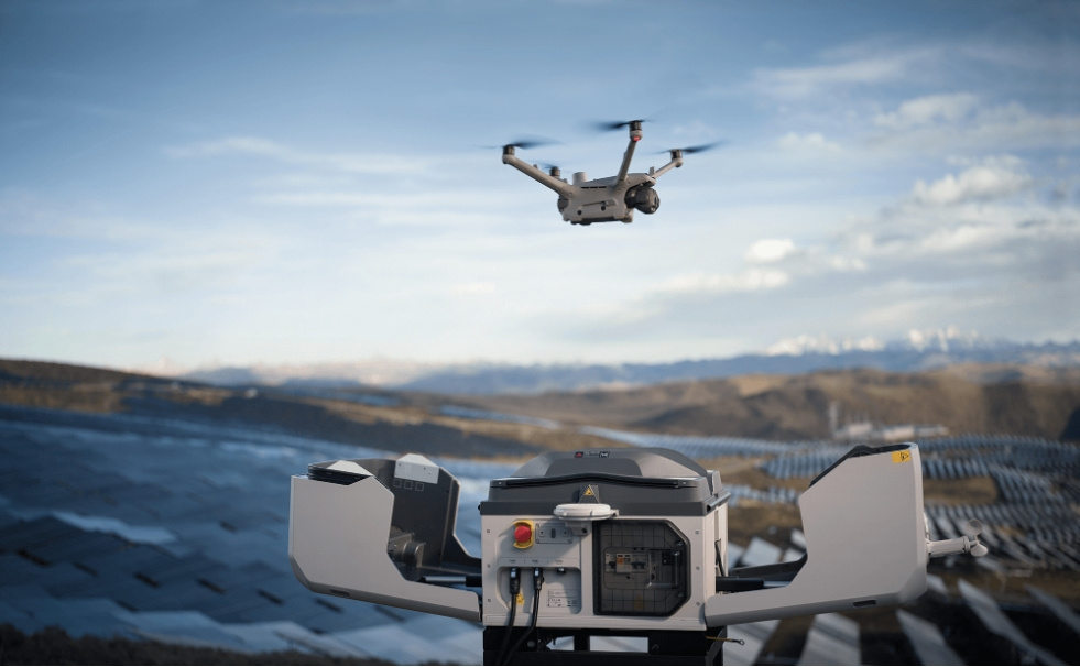
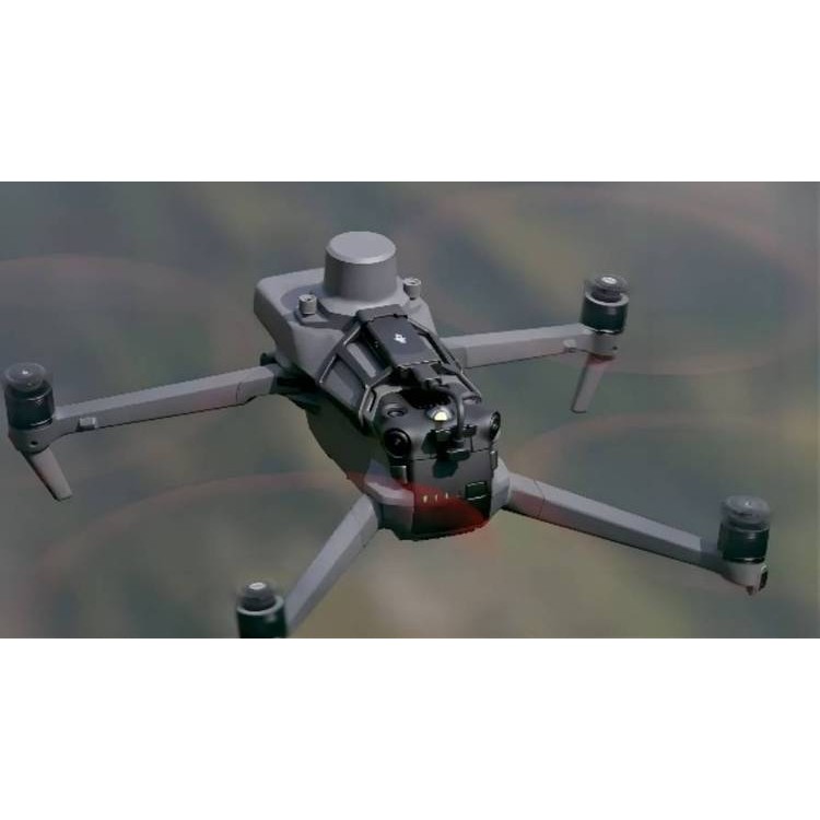
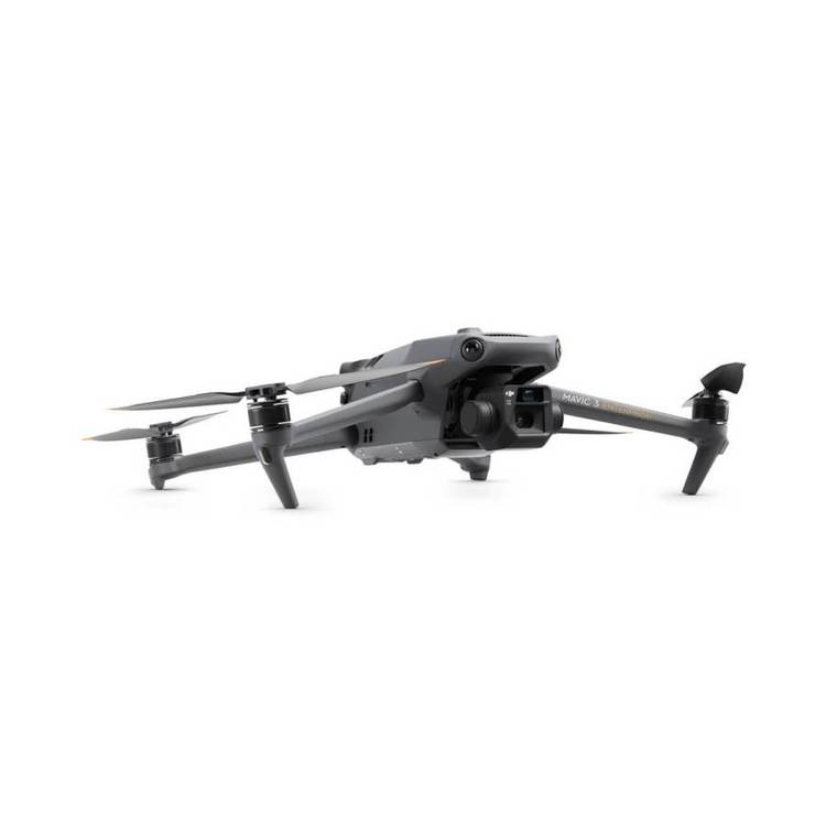
DJIThe M3T thermal imaging drone monitors abnormal hotspots on photovoltaic panels. The M3T's thermal infrared camera boasts a resolution of 640 * 512, supporting point temperature measurement, area temperature measurement, high-temperature alarms, color charts, and isotherms, enabling quick target location and aiding in operational decision-making.
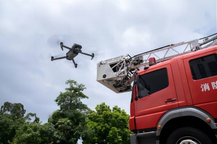
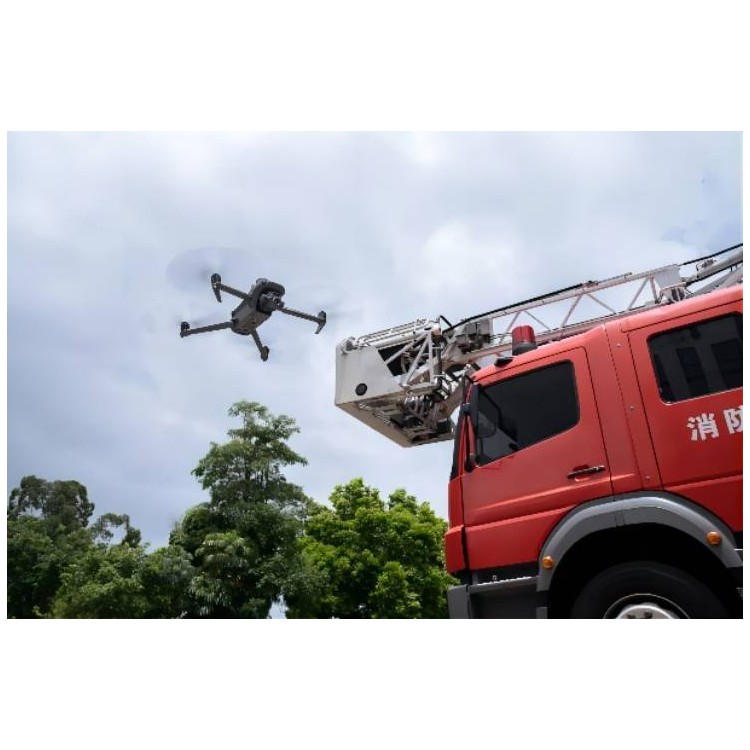
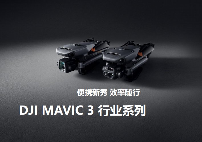
The compact and portable Mavic 3T is the thermal imaging version of the M3E, featuring a 56x zoom, a 640 × 512 PX thermal imaging sensor, and a centimeter-level precision RTK module. The M3T is easy to carry and deploy at any time, serving as a personal tool for firefighting, search and rescue, inspections, and night operations.
Features
·
Infrared Imaging:DFOV: 61°, Equivalent Focal Length: 40mm, Resolution: 640 × 512
·
·
Wide Angle: Equivalent Focal Length:24mm,48MP
·
·
Zoom: Equivalent Focal Length:162mm, 12MP, 56x Hybrid Zoom
·
·
45 minutesZUIExtended flight time
·
·
DJI O3 Enterprise Transmission
·
·
RTK centimeter-level positioning
·
·
·
Focus and seek
Equipped12MP zoom camera with 56x hybrid zoom, enabling you to see important details from a distance.
Perceive the unseen
The Mavic 3T thermal imaging camera boasts a 640×512 resolution, supporting point and surface temperature measurement, high-temperature alarms, color palettes, and isotherms to assist you in identifying targets and making swift decisions. It makes the M3T suitable for night patrols, abnormal temperature detection, power grid and solar farm inspections, search and rescue, and firefighting missions.
Simultaneous split-screen zoom
Thermal imagers and zoom cameras supported28x continuous side-by-side zoom for easy comparison.
Enhanced operations
Batteries are optimized for durability.45-minute flight duration allows for more ground coverage per mission, single flightZUIMulti-measurable2 square kilometers. Charge batteries quickly with a 100W charging hub, or directly charge the drone with 88W fast charging.
Multi-directional sensing for safe flight
Equipped with wide-angle cameras on all four sides for multi-directional obstacle avoidance and zero blind spots. Adjusts approach alerts and braking distances according to task requirements.RTH Auto-Return Home PlanZUISuperior route, saves energy, time, and effort.APAS 5.0 automatically reroutes around obstacles, ensuring your peace of mind during flight.
Next-generation Image Transmission
Four antennasO3 Enterprise Transmission ensures a more stable connection in various complex environments.
More software packages
DJI Pilot 2 - Enhanced enterprise-grade flight interface designed to enhance driving and flight safety. One-touch access to drone and payload control. Clear presentation of flight and navigation details improves user experience, supporting various route types.
DJI FlightHub 2 - Provide a multi-functional cloud drone operation and management for your fleet, supporting real-time annotations and cloud mapping, achieving seamless ground-to-cloud collaboration. Effectively manage inspection operations through route planning and task management.
DJI Terra - All-in-one mapping software suitable for various work phases, from task planning toProcessing of 2D and 3D models.
DJI Thermal Analysis Tool 3.0 - UtilizeDTAT 3.0 analyzes, annotates, and processes images captured by M3T to detect temperature anomalies during inspections.
User Data Security- Local Data Mode | One-click Clear All Device Data | AES-256 Video Transmission Encryption | Cloud API

DJIDJIM3TSurveillance Drone for Monitoring Anomalous Hotspots on Photovoltaic Panels via Thermal Imaging
Shenzhen Pengjin Technology Co., Ltd. offers a variety of drone integration solutions and provides on-site demonstration services. Welcome to inquire.18320930028 Miss Lai