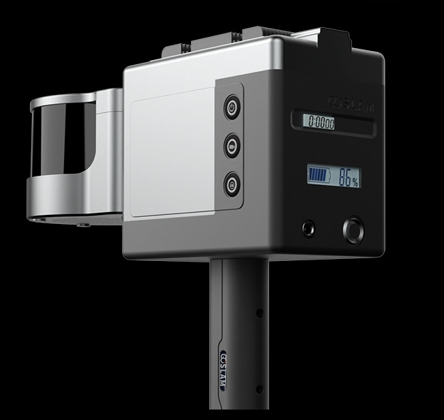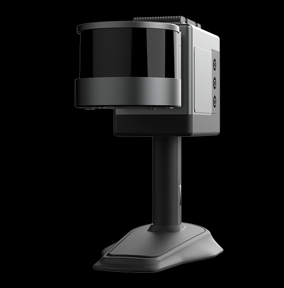

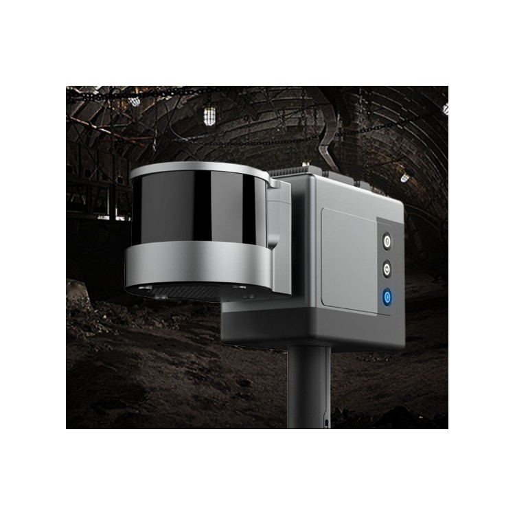

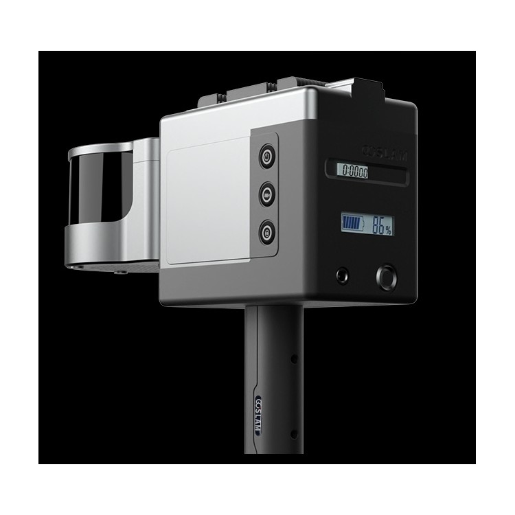
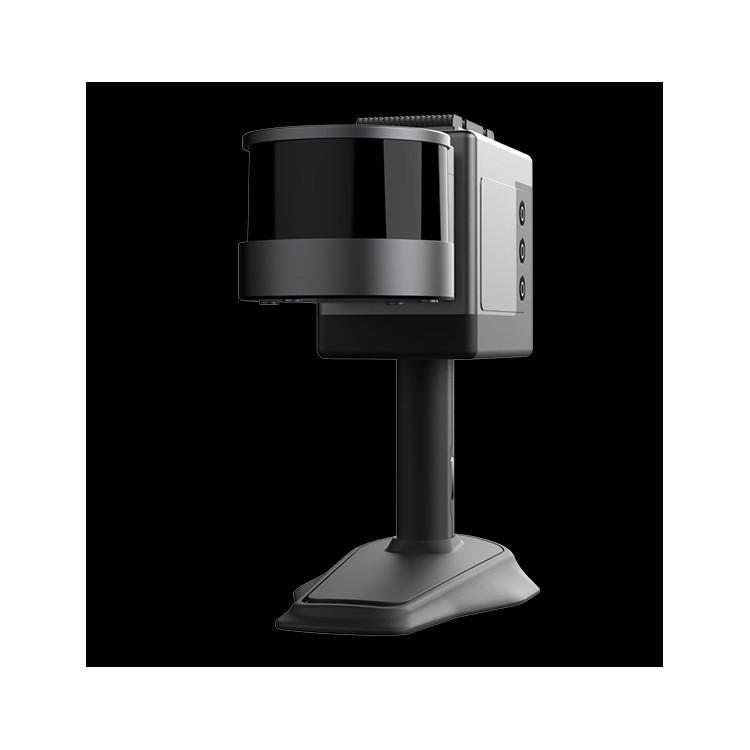


GoSLAM GHJS12 Explosion-proof Mobile 3D Laser Scanner
Shenzhen Pengjin Technology Co., Ltd., welcome to inquire at 18320930028, Miss Lai

The GoSLAM GHJS12 Explosion-Proof Mobile 3D Laser Scanner is a 3D laser scanning device suitable for special environments such as coal mines, featuring the following characteristics:
Explosion-proof certification:This equipment features an integrated design, meets explosion-proof certification standards for environments with explosive gases, and can be safely used in hazardous areas such as coal mines.
Autonomous Scanning and MappingBased on laser SLAM algorithms, it can autonomously scan and map without external satellite positioning assistance, suitable for closed environments such as tunnels.
High-Precision Scanning:Scanning radius of 120 meters, with point accuracy as high as 1 cm, scanning speed of 320,000 points per second, providing high-precision 3D data.
Lightweight and versatile:The equipment features an integrated design with no external attachments, making it lightweight for easy portability and operation.
Simple operation:Equipped with a status display screen, it supports more status information display and operational guidance, reducing the training cycle for operators.
Data Processing:The complementary point cloud post-processing software is capable of data stitching for multiple sets, calculation of mine tunnel and stockpile volumes, and supports mesh model encapsulation based on tunnel point clouds, providing usable 3D model data for digital platforms.
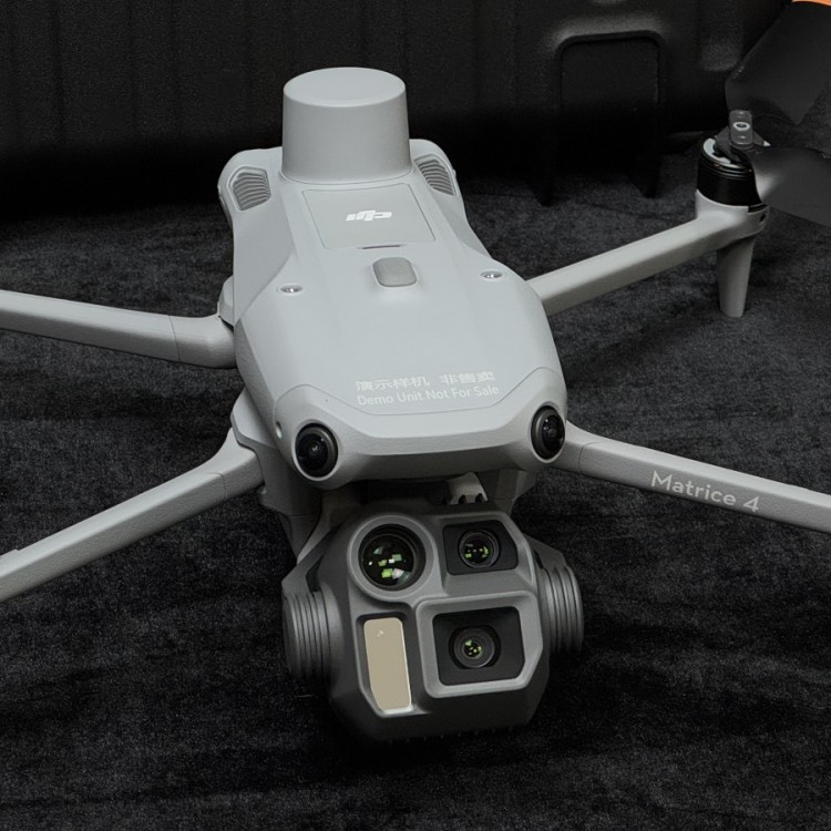
The GoSLAM GHJS12 Explosion-proof Mobile 3D Laser Scanner is applicable for coal mine tunnel 3D point cloud data classification, 3D model reconstruction, and modeling of underground transformer rooms and pump houses, providing real-time point cloud data for intelligent mining and extracting tunnel centerlines and cross-sectional analysis. Its real-time scanned point cloud data can generate a digital twin of the entire mine tunnel, offering a true baseline for the "One Map" of smart mines. Additionally, the device can be mounted on drones for high-precision point cloud data acquisition in open-pit mines, automatically extracting the top, bottom, and slope angles of the embankment. The accompanying software can automatically calculate the monthly and quarterly mining volumes of open-pit mines.