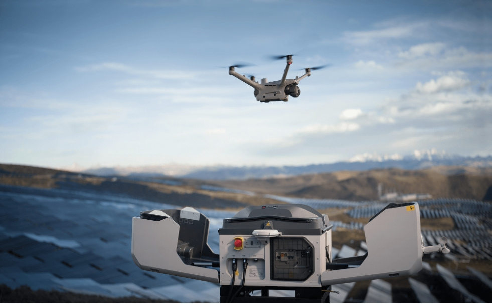


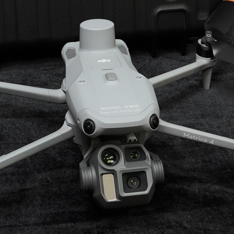


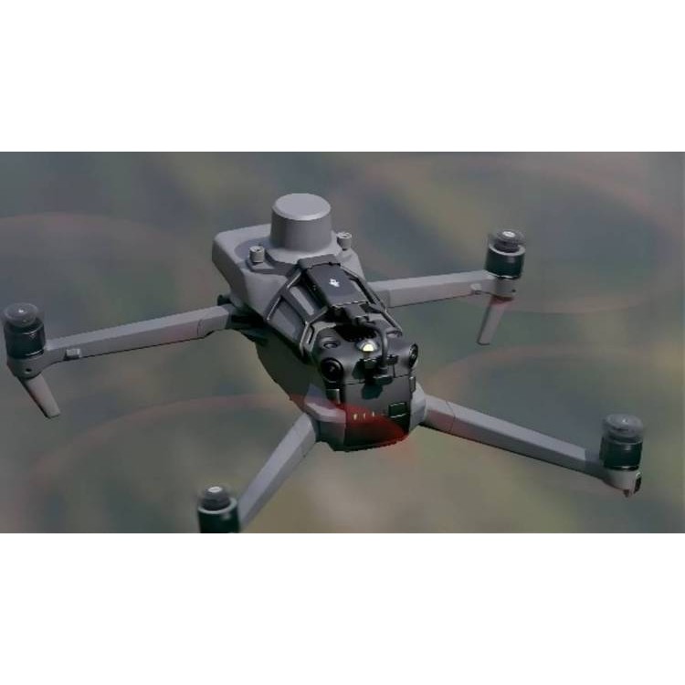


DJIM350 RTKEquipped with ZenithLaser RadarL2Power Grid Applications
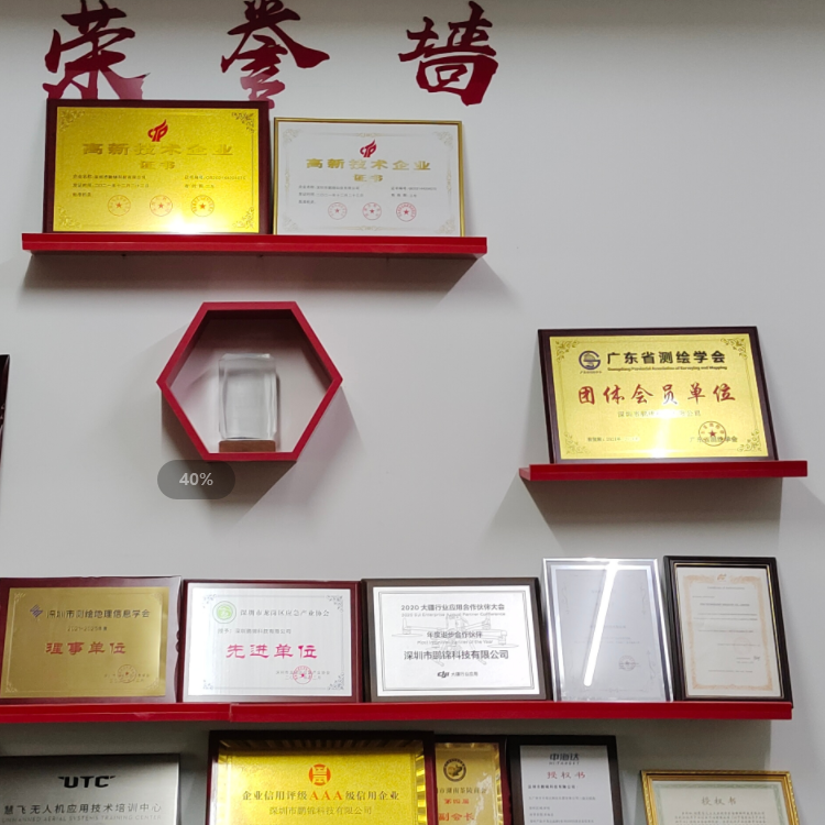
ShenzhenPengjin Technology UAS technical team, contact phone18320930028 Miss Lai
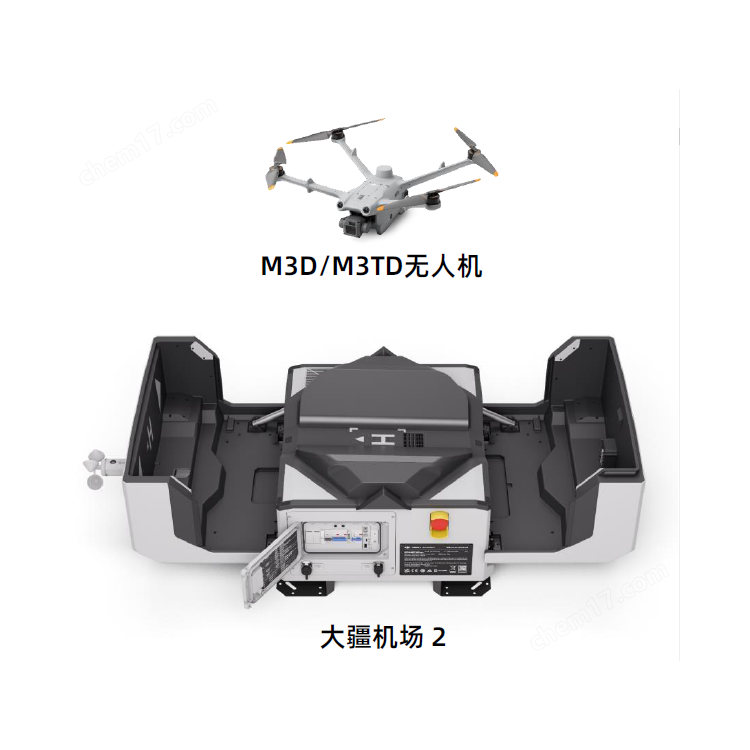
The company offers a variety of drones./Laser Radar / Oblique Photogrammetry / Multispectral / Hyperspectral and other loading solutions

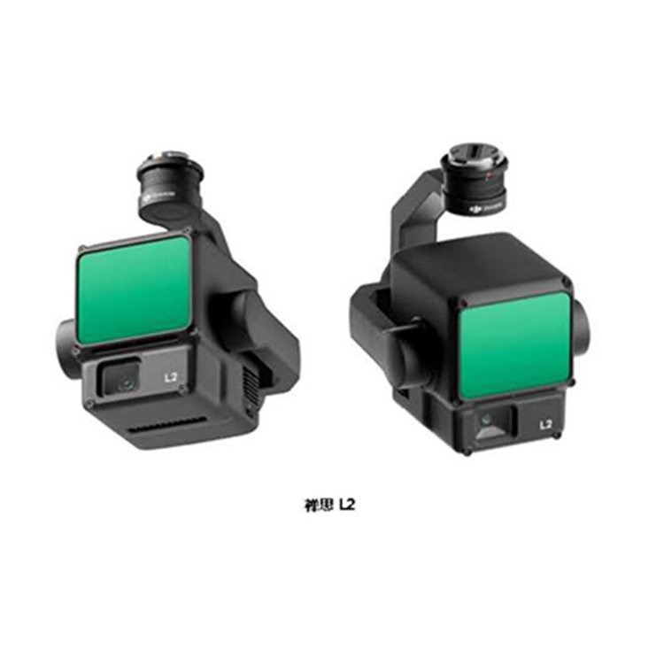
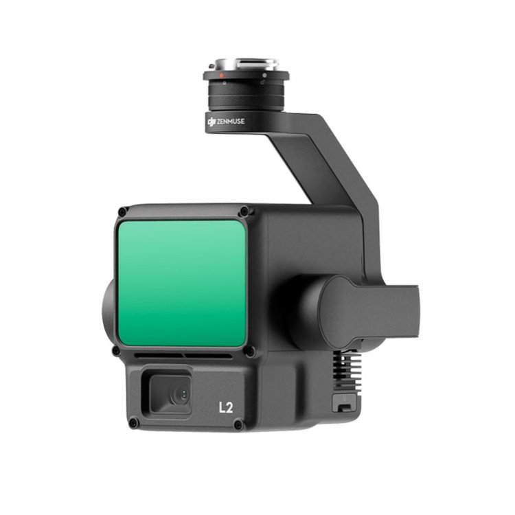
DJI launches the latest generation of airborne high-precision laser radar Zenmuse Through technology improvements such as inertial navigation optimization, range enhancement, and spot size reduction, Zenith L2 delivers a dual boost in efficiency and quality for point cloud scanning of power grid transmission, transformation, and distribution equipment.
To ensure Zenith DJI's industrial applications have conducted extensive practical tests of business scenarios in grid point cloud modeling with the L2's excellent performance. This article will provide a detailed introduction to the testing and compare it with the previous Zenmuse L1 product, exploring the value and advantages brought by the new Zenmuse L2 in grid applications.
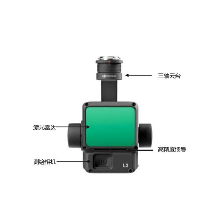
DJI M350 RTK Equipped with ZenithL2
ContemplationL2 Key improvements for grid applications include:
1.Radar and Inertial Navigation Module Upgrade: Faster operational flight speed, enhanced efficiency110% 。
2. Inertial Navigation System (INS) requires no preheating: Fear not delays in transitions, power on and take off immediately, saving at least5 Minutes of preheating time.
3. Range:L1 Enhance30%Extra-high and ultra-high voltage transmission lines, one scan to cover the sagging conductors at the arc, and point cloud reconstruction.
4. Operation Quality Report: Automatically generates quality reports, on-site inspection of operation effects, and timely retake and correction if issues are found.
5. Supports DJI Enhanced Image Transmission: Relying on carrier networks, it solves the problem of signal blockage and effectively extends the operational distance of the LiDAR.
6. Supports cloudPPKIn partnership with China Mobile, we offer supportPPK Match offline base station data for point cloud reconstruction, regardless of network availability or in flightRTK Interruptions, all operations can proceed smoothly for data collection.
DJIM350 RTKEquipped with ZenithLaser RadarL2Power Grid Applications
ShenzhenPengjin Technology Unmanned Aerial Vehicle (UAV) Technical Team, contact phone:18320930028 Miss Lai
The company offers a variety of drones./Laser Radar/ObliquePhotogrammetry/Multispectral/Hyperspectral Load Solutions