


Latitude and LongitudeM350RTK - The New Generation DJI M350RTK Surveying Drone
Shenzhen Pengjin Technology Co., Ltd. Welcome to inquire: Miss Lai at 18320930028
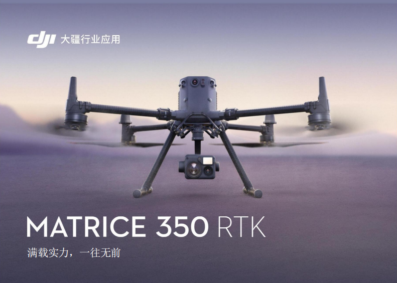
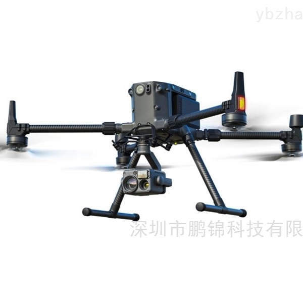
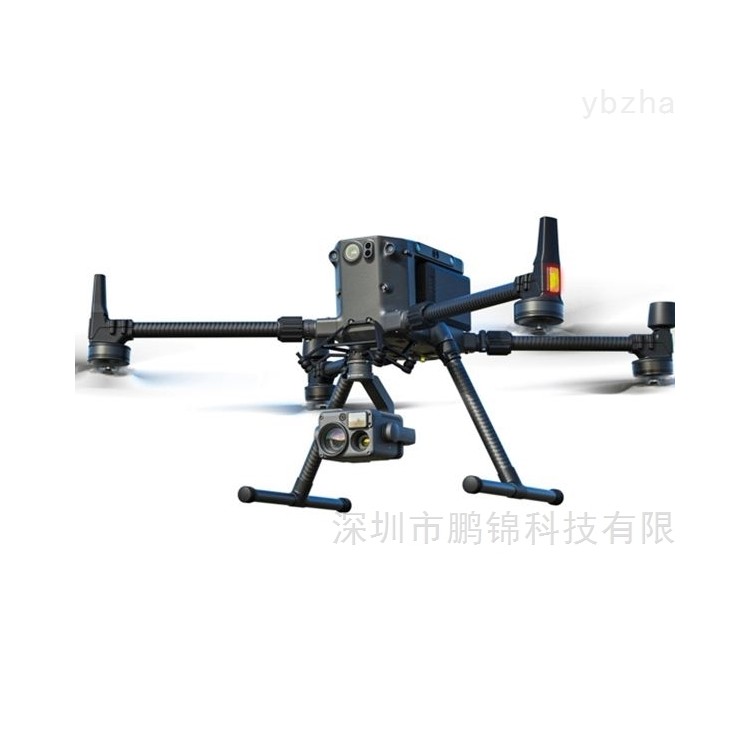
DJIThe M350RTK survey drone is an upgraded version of the M300RTK in the industry. This model utilizes *precision RTK positioning technology, global satellite navigation system (GNSS) technology, remote control technology, and computer vision technology, catering to complex application scenarios such as engineering surveying, agricultural surveying, environmental monitoring, forestry surveying, and 3D modeling.
Excellent flight performance
• 55-minute flight duration
• IP55 Protection Rating
Night Vision Flying Camera
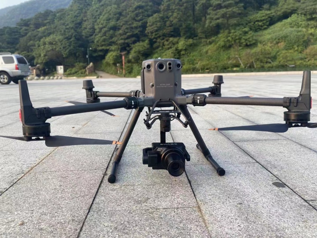
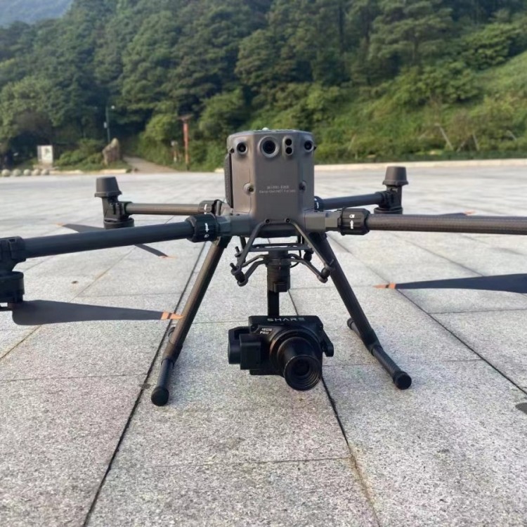
• 2.7 kg, high load capacity, various
Load Support
Stable Image Transmission
• O3 Transmission Industry Edition
• 20 km transmission distance
• 3-way 1080p Clear Transmission
4G Enhanced Data Transfer
Enhance operational experience
7-inch bright large-screen remote control
• Arm Position Detection
DJI Pilot 2 Flight Software
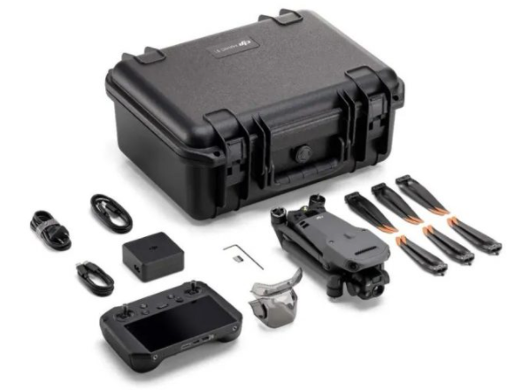
Brand New Battery System
• TB65 Battery System
• 400 cycles battery
• New Intelligent Battery Box
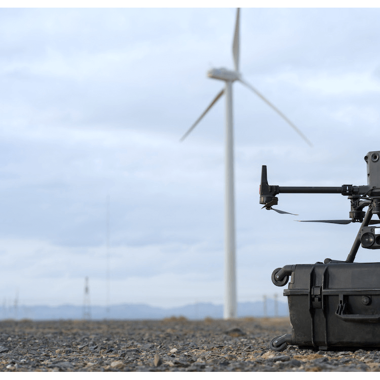
Unfazed by harsh working conditions
Enhanced protective performance
Complex environments, fearless
• IP55 protection rating, waterproof even in folded aircraft state
• Wind resistance level: 12 m/s
-20°C to 50°C operating temperature
• 7,000m take-off distance
Flight Safety Reliable
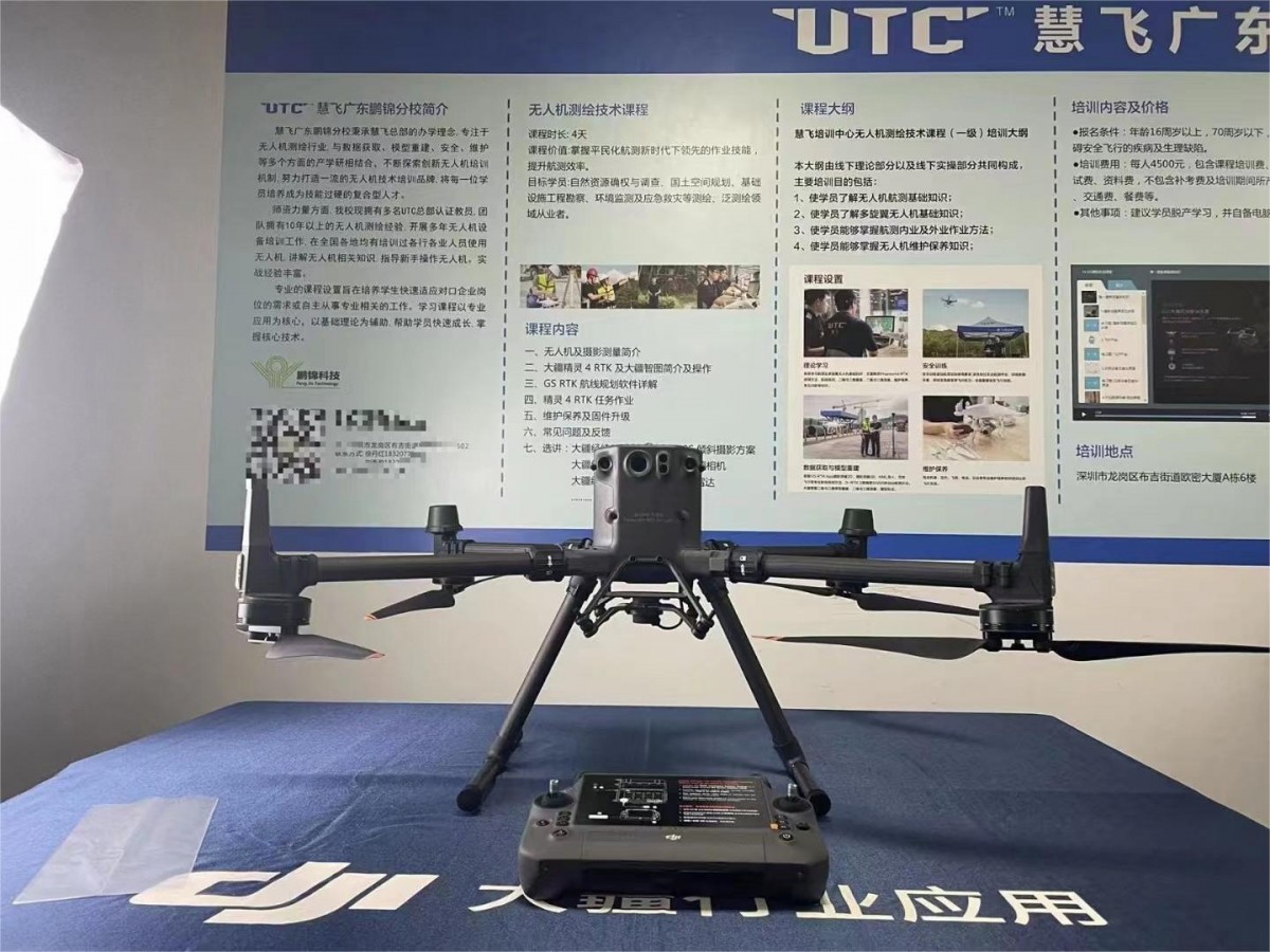
Matrice 350 RTK
Arm Position Verification
• The aircraft arm now features a new到位 detection function, preventing the risk of forgetting to tighten the sleeve, ensuring a safer flight.
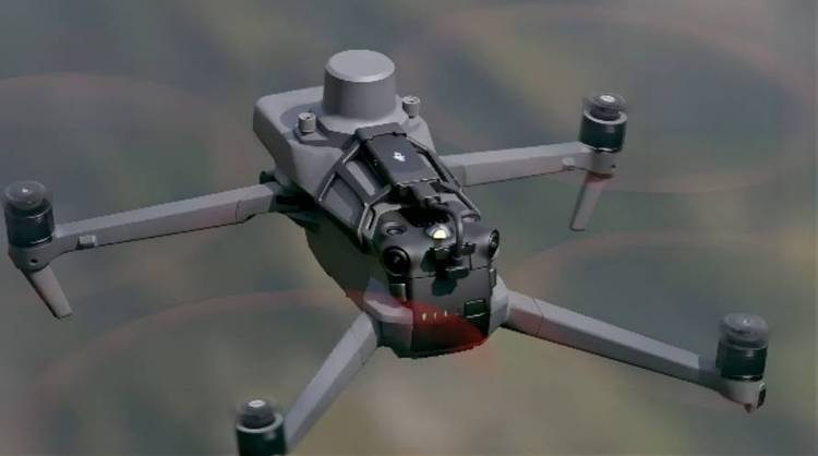
Night Vision Flying Camera
• The aircraft flying camera (FPV) boasts excellent night vision capabilities, providing a clear depiction of nighttime environments and obstacles.
• With the dot positioning feature, further guide safe flight operations, offering greater confidence during night work.
Six-directional positioning and obstacle avoidance
• Equipped with a six-directional binocular vision system and an infrared sensing system, providing six-directional environmental perception, positioning, and obstacle avoidance capabilities to ensure flight protection.
Ring Scan Millimeter Wave Radar
• Paired with millimeter wave radar, the aircraft can detect and avoid small obstacles within a horizontal 360° range and above in a timely manner.
• Effective detection distance up to 30 meters, further enhancing safety coefficient
Positioning Performance
• GNSS Chip, RTK Chip Upgrade, improved star detection quantity and quality, maintaining more stable positioning performance in disturbed environments.
• Antenna supports B3/L5 frequency bands, offering better performance during ionospheric activity.
New Transmitter, stable performance
Please provide the Chinese content to be translated.20 km transmission range
Hardware Upgrade
• Both drones and remote controls are equipped with a quad-antenna transmission and reception system, which can intelligently select two antennas to emit signals, while simultaneously receiving with all four antennas, significantly enhancing anti-interference capabilities and ensuring more stable transmission.
• 2 antennas for 2.4G + 5.8G dual carrier transmission, doubling the media file download speed.
• Algorithmic upgrade allows for greater flight range and larger operational radius in urban or suburban areas with higher levels of interference, with clearer real-time previews.
Image Transmission Upgrade
• O3 Transmission Industry Version, enhanced anti-interference capability, reducing the probability of transmission disconnection.
• Supports 3-way 1080p clear transmission (2-way 1080P transmission for FPV and camera images)
• Supports 4G augmented image transmission, easily handles signal obstructions in complex environments such as urban buildings.
DJI is a manufacturer of civil drones and imaging systems, its next-generationThe M350RTK survey drone is an industry-leading performance drone. This model incorporates precise RTK positioning technology, Global Navigation Satellite System (GNSS) technology, remote control technology, and computer vision, catering to complex application scenarios such as engineering surveying, agricultural surveying, environmental monitoring, forestry surveying, and 3D modeling.
Latitude and LongitudeM350RTK - The New Generation DJI M350RTK Surveying Drone
Shenzhen Pengjin Technology Co., Ltd. Welcome to inquire18320930028 Miss Lai