


Aerial photogrammetry refers to the continuous acquisition of aerial photographs using photogrammetric equipment on an aircraft, combined withGround Control Point Survey、MappingAnd with steps such as stereoscopic surveying, draw outTopographic mapThe operation.
Aerial photography involves capturing images of the ground using aircraft or other flying vehicles (such as balloons, satellites, and spacecraft), equipped with specialized cameras. Photography conducted from aircraft is known as aerial photography.
Aerial photogrammetry requires fieldwork andInterior tradeTwo-fold efforts.
Aerial SurveyFieldwork includes:
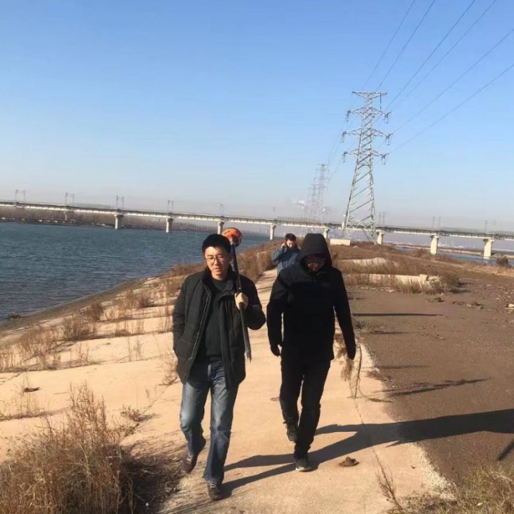
①Image control pointsCoincidence measurements. Image control points are typically ground markers established before aerial photography, which can also be selected from the image itself.Clearly defined physical pointDetermine their plane coordinates and elevation using conventional surveying methods (such as at road intersections, etc.).
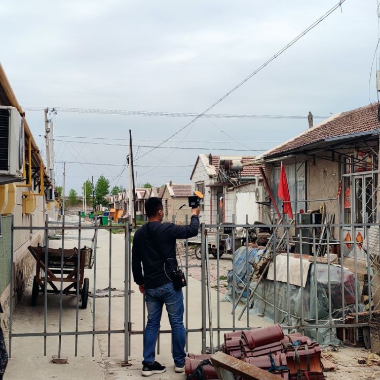
②Image MappingA general term for image interpretation, investigation, and annotation. Through interpretation on the photograph, using specifiedTopographical mapSymbolize and annotate elements such as landforms; survey significant land features without imagery and newly added ones.NoteThrough surveys obtained place names, etc. Photographs obtained through photogrammetric plotting are called plotting sheets.MappingWork can be categorized into indoor, outdoor, and a combination of both.3 methods.
③ Comprehensive Mapping Method. Primarily used on individual photographs or photo charts.Table LevelSurveyingContour lines。
Aerial surveying in-house work includes:
① Mapping MeasurementControl PointEncryption. Previously, flat areas generally employed radiationTriangulation MethodFor hilly and mountainous terrain,3D Surveying InstrumentEstablish an aerial triangle network for single-route simulation and conduct densification work on control points.Since the 1960s,Simulated MethodAerial TriangulationGradually beingInterpretation of Air Trigonometric SurveyReplacing (see aerial triangulation).
②Surveying original topographic maps using various optical and mechanical instruments.