


Hydrological Engineering Survey
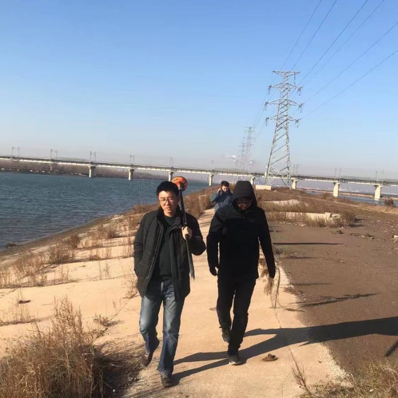
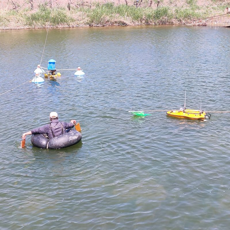
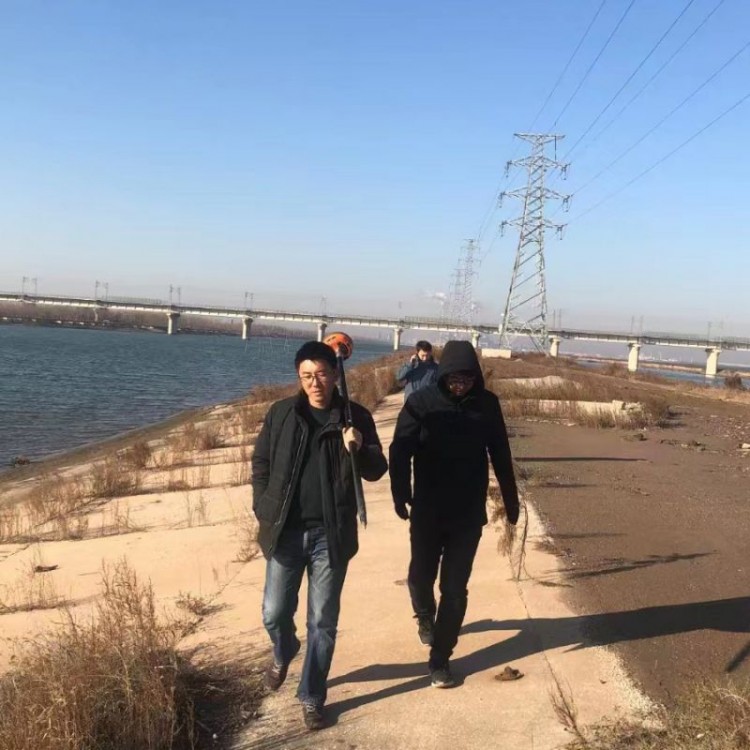
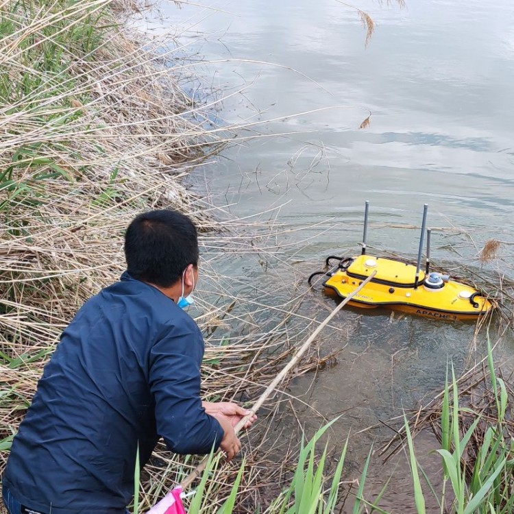
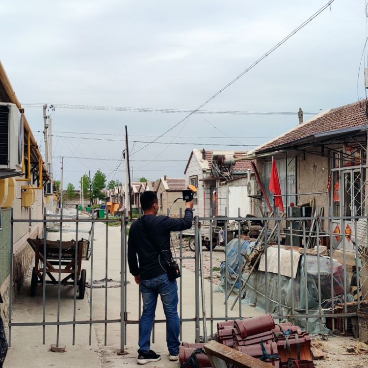
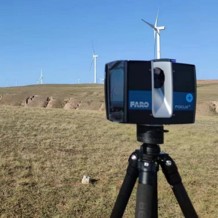
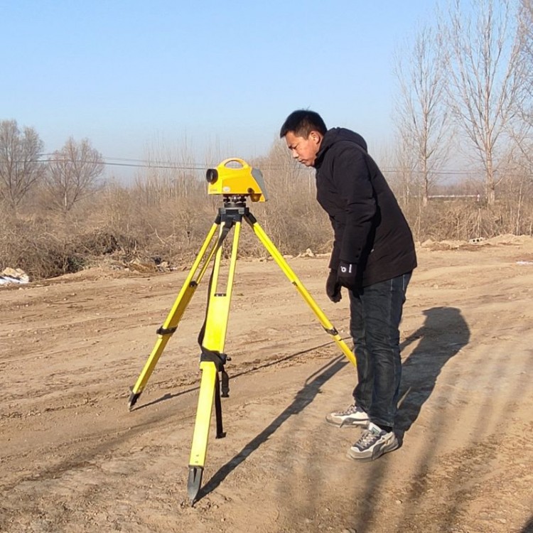
Hydroengineering surveying is a fundamental task in the preliminary phase of hydroengineering projects, encompassing construction control surveying and topographical surveying.(Including underwater terrain surveying), cross-section and profile surveys, alignment and stakeout surveys, deformation monitoring, etc.
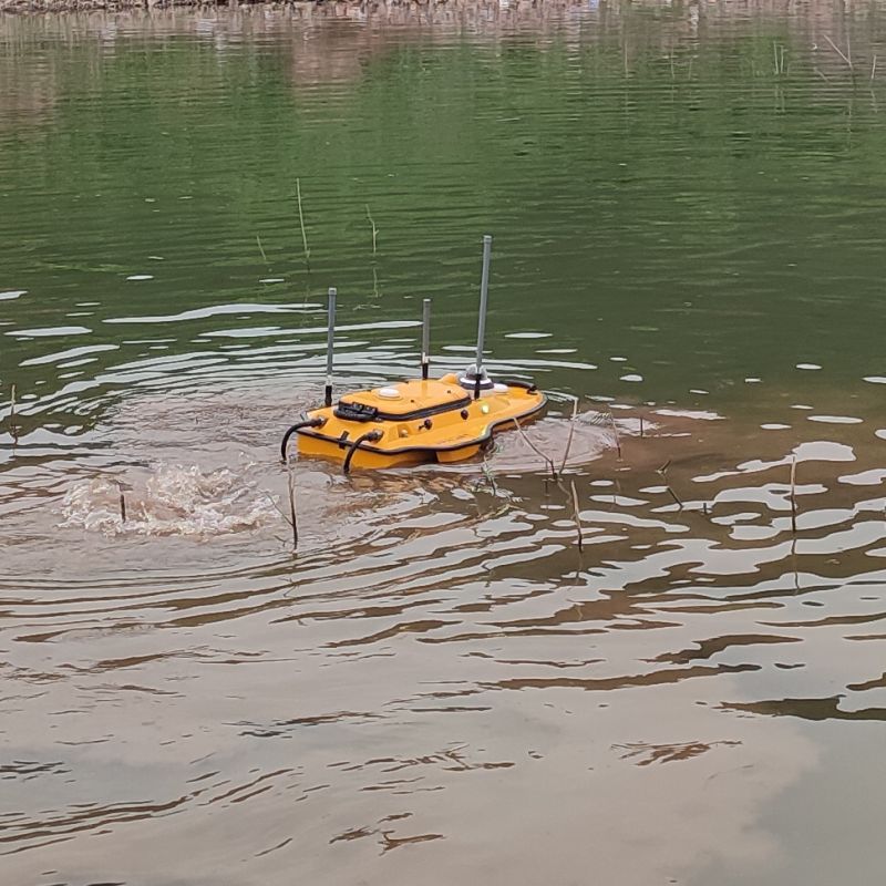
During the planning stage, it primarily includes small-scale topographic maps; large-scale topographic maps (including underwater topographic maps), as well as route surveys, cross-sectional and longitudinal surveys, reservoir flooding surveys, canal and embankment lines, pipeline surveys, etc.
(2) During the construction phase, it primarily includes construction control surveying, construction layout for various hydraulic structures, surveying and setting of various lines, safety monitoring, coordination with geological mapping and boring location, measurement of filling (or excavation) of hydraulic structures, completion surveying, and engineering supervision surveying, etc.
(3) During the operational phase, it primarily includes deformation monitoring such as settlement, displacement, leakage, and deflection of hydraulic structures after they are put into operation, sedimentation measurement in the reservoir area, and erosion measurements of tailwater discharge and overflow from the power station.