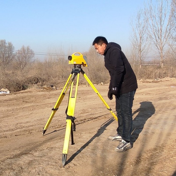

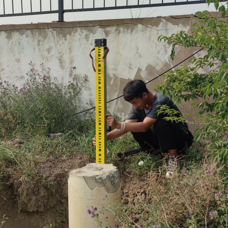


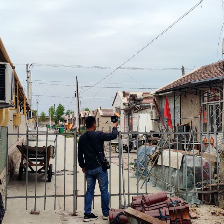
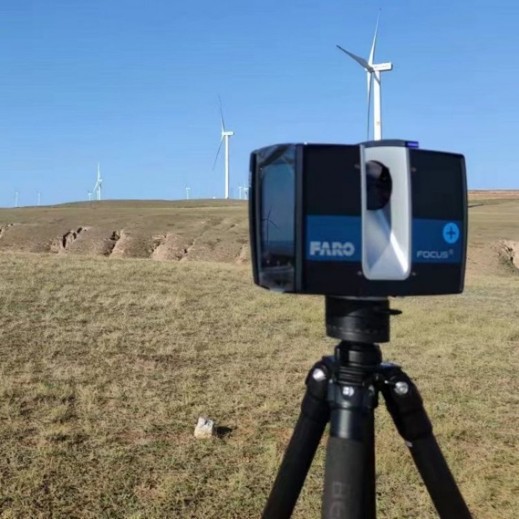
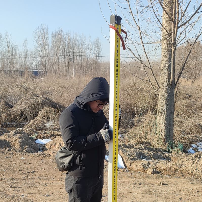
Control Measurement and Its Tasks
In the construction area, determine the horizontal position and elevation of a series of control points with the necessary accuracy to establish an engineering control network, which serves as the basis for topographic and engineering surveys. This type of surveying is known as control surveying.
Engineering control networks are divided into two parts: plane control networks and elevation control networks. The former determines the plane rectangular coordinates of the control points, while the latter determines their elevations.
Specific tasks of control measurement in the three stages of construction engineering areEstablish a surveying and mapping control network during the survey and design phase as the basis for various large-scale mapping; establish a construction control network during the construction phase as the basis for construction layout and measurement; and establish a deformation observation control network during the operation phase as the basis for engineering structure deformation observation.
The control role of surveying and measurement in mapping topographic maps is as follows:Topographic maps are divided and surveyed in sections, requiring that each section be seamlessly pieced together without gaps, overlaps, or distortions to form a cohesive whole with consistent accuracy. If a unified plane control network is established in the construction area and the precise Gaussian plane rectangular coordinates of each control point within the network are determined, the exact locations of each map section can be accurately identified on the ground. Consequently, when individual sections are surveyed independently, there will be no gaps, overlaps, or distortions between adjacent sections. Due to the high precision of the determined control points, the measurement errors of the plane positions of each topographic map section will be limited by the control points, preventing significant accumulation. This ensures that the plane positions of all sections maintain the same surveying accuracy. Therefore, the plane positions of adjacent topographic map sections can be joined together within the surveying accuracy.
Similarly, if a unified elevation control network is established in the construction area and the elevations of each control point within the network are precisely determined, the contour lines of adjacent map sheets can be joined together within the surveying accuracy during the independent mapping of individual sheets.