
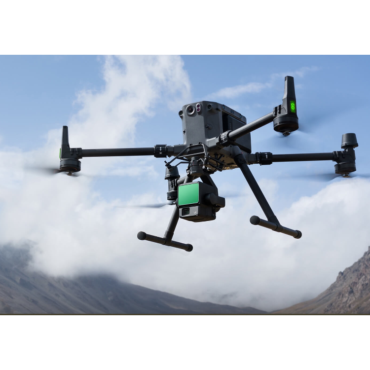


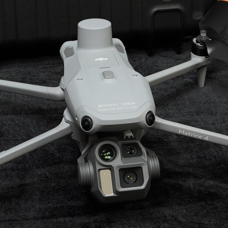


DJIL2Highly integrated, cost-effective airborne surveying LiDAR
ShenzhenPengjin Technology drone technology team, contact phone number18320930028 Miss Lai
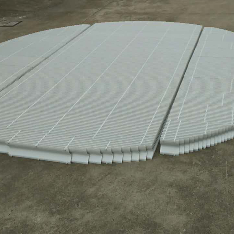
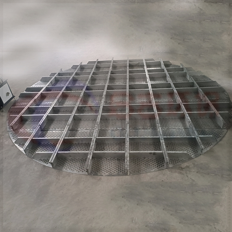
The company offers a variety of drones./Laser Radar / Oblique Photogrammetry / Multispectral / Hyperspectral and other Load Solutions

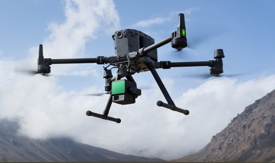
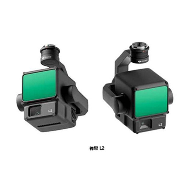
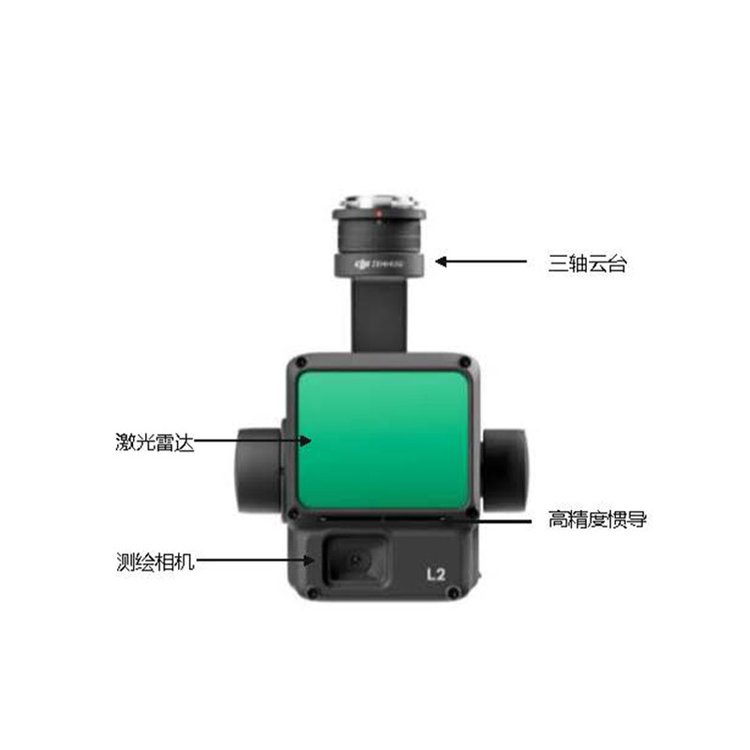
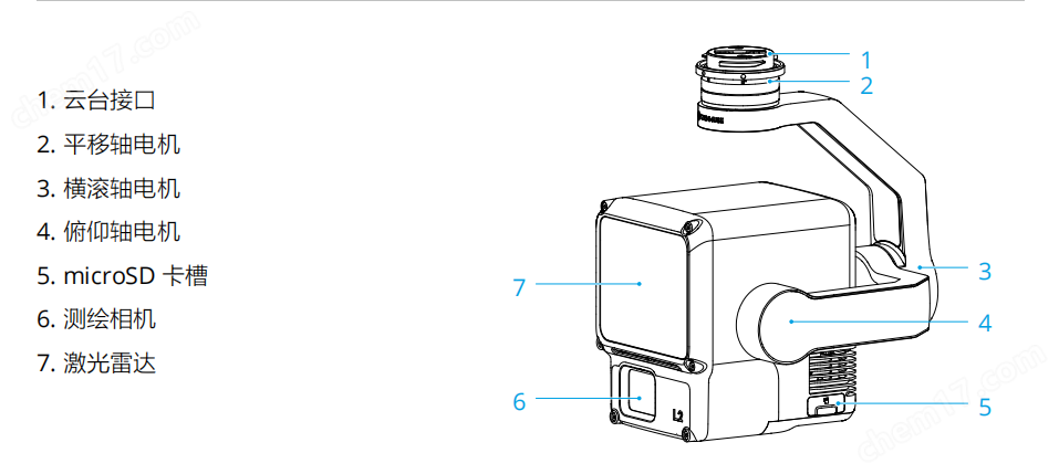
DJIL2 is an integrated industry laser load featuring LiDAR, high-precision inertial navigation, and surveying cameras, equipped with a three-axis gimbal, compatible with the DJI M350 flight platform. Utilizing the real-time point cloud display function, users can quickly preview point cloud effects in the DJI PILOT App. Paired with DJI TerraMap (DJI TERRAM) software, it forms an integrated solution, generating point cloud results and extracting ground points post-operation, and creating DEM results based on the ground points.
Laser Radar Advantages
1: Operates 24/7 (laser is not dependent on visible light, can operate at night)
2: Reliable Elevation (Less affected by laser ranging, elevation accuracy more reliable)
3: Penetrates Vegetation (multiple laser echoes, can measure ground points beneath the forest)
4: Fine structure (high-density laser dot frequency, fine structure achievable)
5: Fast Plotting (Laser data processing calculation is minimal, allowing for faster large-area plotting)
High precision, accuracy within 5 Centimeters;
GAOEfficiency, an improvement over the previous generation 5 Multiple;
> High penetration, capable of penetrating dense forests;
> High range,500 Rice;
> Five Echoes;
> Plug and play;
> DJI TerraPost Post-Processing Free;

DJIL2Highly integrated, cost-effective airborne mapping LiDAR
ShenzhenPengjin Technology's drone technology team, contact phone number18320930028 Miss Lai
The company offers a variety of drones./Laser Radar / Oblique Photogrammetry / Multispectral / Hyperspectral and other loading solutions