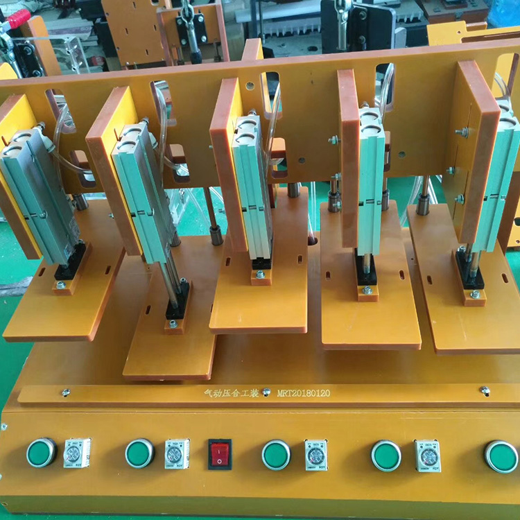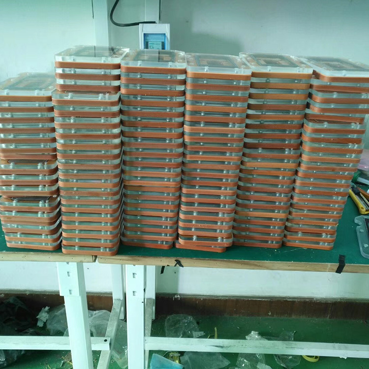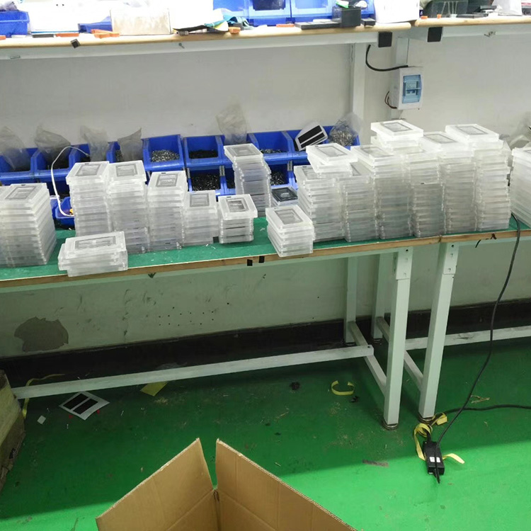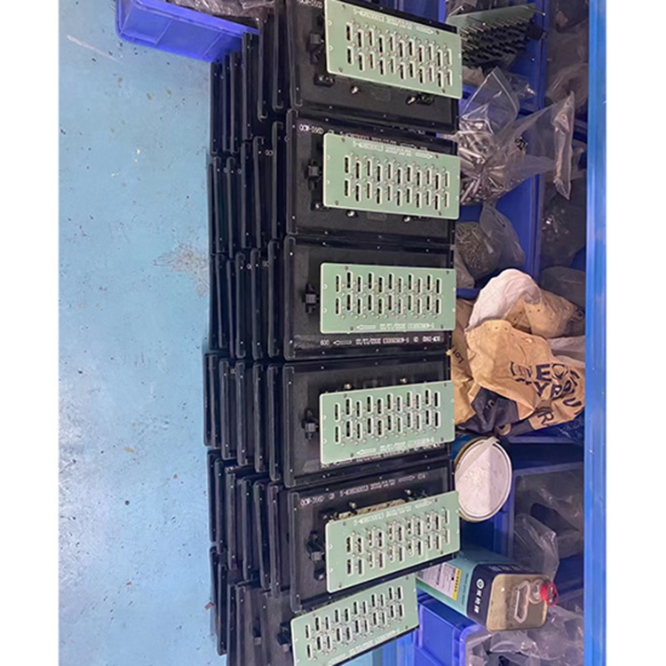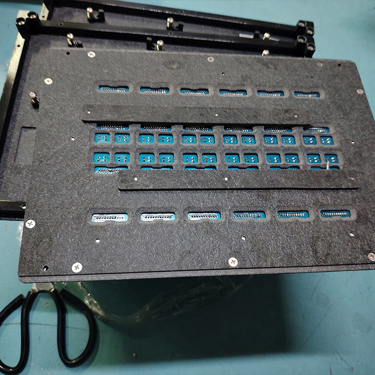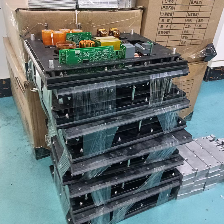


Static Well Level Monitoring, Construction of Ground Subsidence Monitoring Network, Bulk shipment of Standard Group Automation Monitoring Transmission Facilities
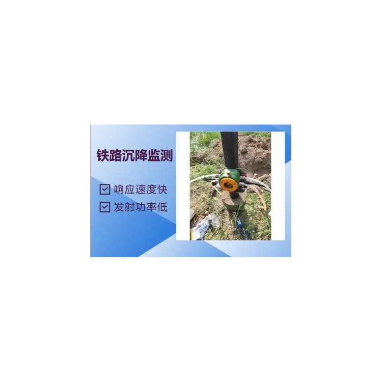
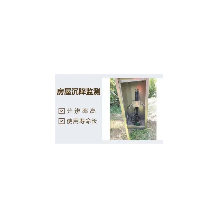
Ground subsidence:Geological phenomenon characterized by the lowering of ground elevation within a regional area due to strata compression caused by natural factors and human activities.
Geological exploration borehole:Geological drilling holes, designed for stratigraphic group design parameters with the purpose of understanding geological conditions.
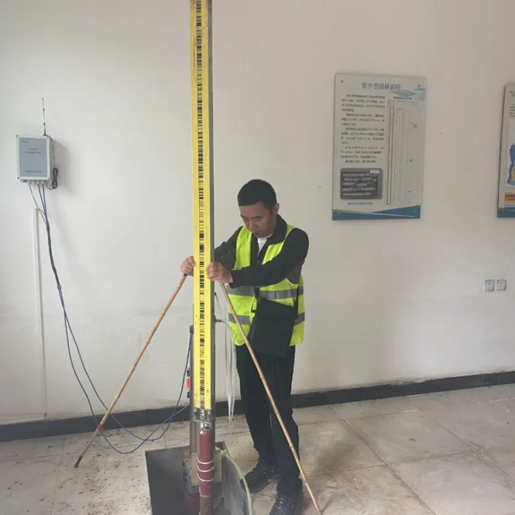
Bedrock marker:Leveling observation facilities embedded in stable bedrock and extended to the ground。
Ground Mark:Ground level observation markers embedded in the original stratum below the frozen soil layer.
Layered marking:Ground level observation markers installed at the interfaces between different depths of loose soil layers.
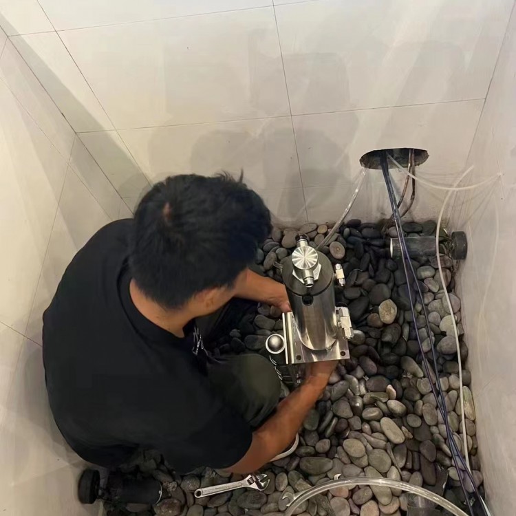
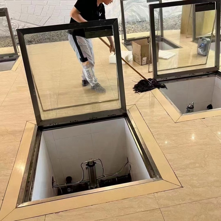
Observation Well for Groundwater Level:Well facility for monitoring groundwater dynamics.
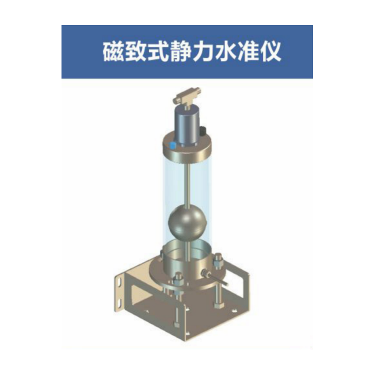
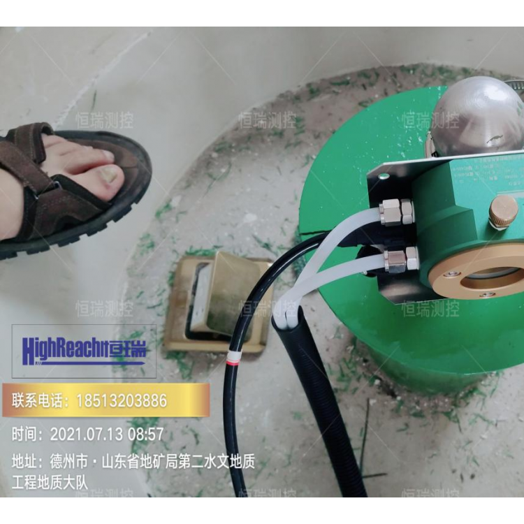
Straightener:Device for straightening and ensuring the vertical position of cylindrical connecting devices within the hole.
Measurement Mark Point:Ground survey points connected to monitoring facilities and compliant with leveling standards. The bedrock benchmark is the starting point for the elevation measurement of the benchmark group, while the stratified benchmark is the measurement point for monitoring the settlement of a specific soil layer.
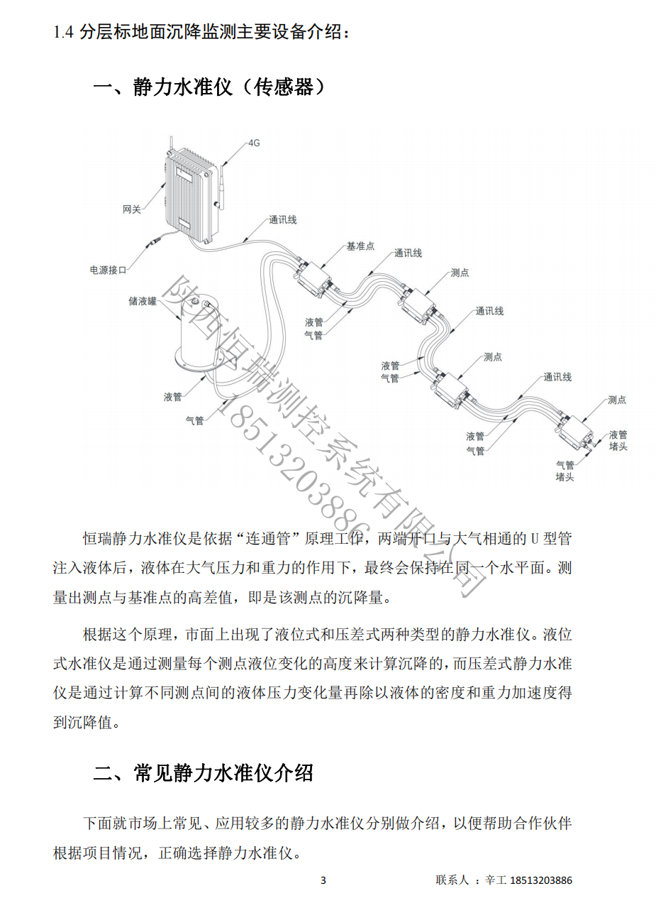
Benchmark PointThe leveling instrument referenced by the measurement points of the object being tested is called the benchmark. The benchmark is a reliable and fundamental measurement point for observing settlement deformation, and it should be installed in a relatively stable location that is not prone to settlement and not easily interfered with. Generally, there is only one benchmark in a system.
Measurement PointThe level instrument installed at the monitored location of the object being tested is called a measurement point. Generally, a system consists of multiple measurement points.
PressureWater LevelLevel Gauge PressureWater Level, UnitkPa/mm。
TemperatureInternal temperature of the leveling instrument, also known as operating temperature, in units of degrees Celsius.
Relative Displacement: The difference in elevation between the measuring point and the reference point, unit: [Unit of measurement]mm。
Cumulative Displacement: The cumulative change of a measurement point relative to a reference point, unit:mm. Positive values indicate upward movement, negative values indicate downward movement.
1.3 Job Responsibilities
Investigate the regional crustal stability, bedrock depth, geological environmental conditions, characteristics of land subsidence development, groundwater exploitation status, and human engineering activities around the surveyed stratification (group) work area. Collect information and data on the existing land subsidence monitoring network. Based on the investigation and data collection, integrate the land subsidence monitoring network to comprehensively determine the construction site location and control depth for the stratification (group) markers.
Category: Stratigraphic Marks (Groups) are divided into five types according to monitoring purposes, including bedrock marks, stratigraphic marks, ground marks, groundwater monitoring wells, and pore water pressure monitoring wells.
1.4 Reference Standards
(1. "National Grade I and II Surveying Specification" (GB/T 12897 -2006)
(2) "Code for Deformation Measurement of Buildings" (JGJ 8-2016)
(3) "Code for Engineering Surveying (GB 50026-2007)"
(4) Relevant documents, drawings, and site inspection reports provided by the client.