


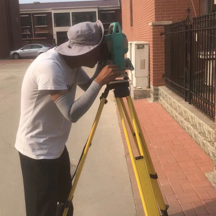


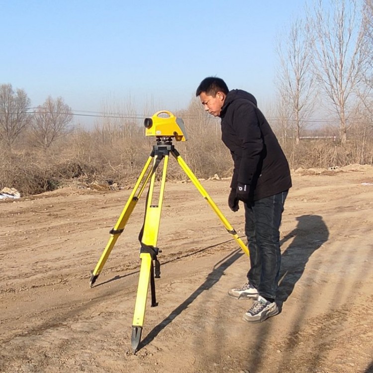

Completion Measurement
Completion survey refers to the surveying work conducted during the completion and acceptance of various construction projects. The outcome of the completion survey is the overall site plan, which includes a comprehensive topographic map reflecting the current terrain, above-ground and underground buildings, and the horizontal and vertical positions of various pipelines at the time of project completion. The overall site plan is a reflection of the actual conditions after the construction of the master plan and an important basis for project acceptance. It is also a crucial technical document for the reconstruction and expansion of the project after completion. Therefore, the engineering unit must attach great importance to the completion survey.
Completion measurements are not only the basic basis for accepting and evaluating whether the project is constructed according to the plans, but also serve as the foundation for management, maintenance, renovation, and expansion after the project is put into use. Therefore, the completion drawings and documents are important technical档案 materials for national key construction projects, and must be drawn and organized in accordance with regulations, and preserved for a long period.