


The AI Regional Traffic Signal Coordination Optimization System is an intelligent traffic signal control platform based on artificial intelligence and big data technology. By real-time collection and analysis of intersection traffic data, it achieves regional signal coordination optimization, significantly enhancing road traffic efficiency.
II. Core Features
1. Smart Perception Analysis
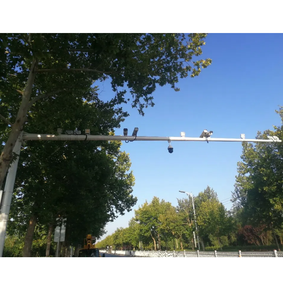
· Real-time collection of traffic flow and queue lengths at various intersections
Accurately calculate green time loss and assess traffic operation status
· Utilize deep learning algorithms for multi-dimensional traffic situation analysis
2. Regional Coordination Control
· Achieve intelligent coordination of upstream and downstream traffic signal timing
· Supports bi-directional/quadrilateral green wave band dynamic generation
· 24/7 real-time monitoring and anomaly alert system
3. Smart Decision Execution
· Automatically Generate Optimal Scheduling Plans
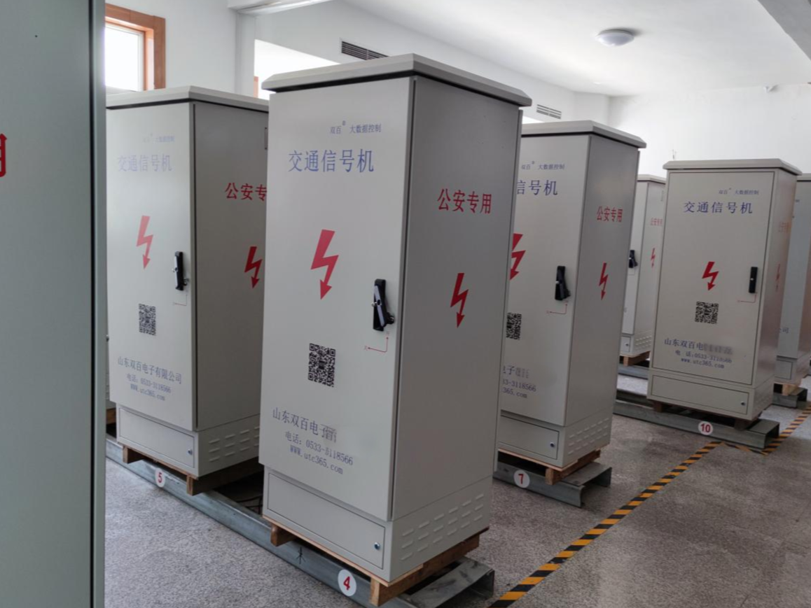
Seamless integration with various traffic signal controllers
Remote Configuration and Scheme Deployment Function

Map Interface: The system comes with built-in map functionality, eliminating the need for additional map imports. Signals can be established on the map according to actual requirements.

Real-time monitoring feature of the Green Wave Plan, enabling 24/7 surveillance of its operation

Intersection Scheme Configuration

Automatically adjust and optimize green wave plan based on trajectory

Green wave effect demonstration

Dynamic Road Testing System

Interchange Co-Verification System

Green Wave Belt OD technology is based on in-depth analysis of photos of social vehicles passing through this intersection.

Automatically issue green wave plans for various brand signal machines in accordance with the agreement.


Multi-source Data Fusion: Pushes information to the AI regional coordination signal optimization system by performing parallel deep analysis on real-time traffic data from multiple electronic maps using big data.


We send real-time road conditions, such as clear, slow, heavy traffic, and traffic congestion distance, to users via SMS and WeChat on key monitored sections.

Time-Distance Diagram Interface: Displays the optimized green wave zone effect of road or area through different calculation methods.
Function Advantages:
1. Omnidirectional Dynamic Green Wave Coordination
Break through the limitations of traditional one-way control, achieving four-way coordination at multi-main road intersections, supporting synchronous optimization of east-west and north-south bidirectional green wave zones without affecting pedestrian requests.
2. Multi-source Data Fusion
Integrate real-time data from 4 navigation platforms with intersection-level green light violation detection to dynamically adjust green wave timing.
3. 3D Verification System
Establish a "collection-simulation-verification" closed-loop based on real track data.
4. Cross-brand Compatible Platform
Supports multiple brand traffic signal controllers, enabling automatic scheme distribution.
5. Smart Regional Coordination
Automatically generate regional coordination control plans based on real-time traffic flow and green loss data.
6. High-Efficiency Optimization Engine
Traditional 5-6 field trials can be condensed into 2 data collections to generate the plan, enhancing efficiency.
7. Human-Machine Collaboration Interface
The visual operation platform allows engineers to operate independently after short-term training.
8. Authorized Certification
The AI Urban Area Coordination Dynamic Traffic Signal Control Optimization System is at the forefront domestically and has obtained a relevant scientific and technological achievement appraisal report.
Technology Achievement Appraisal Report

The project integrates multi-source information data collected by vehicle detectors such as video, radar, and geomagnetic, innovatively applies the principle of maximizing effective green wave zones, and develops an autonomous signal timing plan generation module and an autonomous green wave zone generation module for specific areas. It real-time determines the priority of major roadways within the area network, dynamically optimizes the green wave traffic coordination control plan based on priority order, and develops an area coordination dynamic signal control optimization system.
The expert panel believes that the project's outcomes are overall at the leading level domestically within the industry, with some achievements reaching international advanced standards.