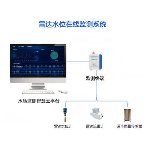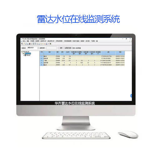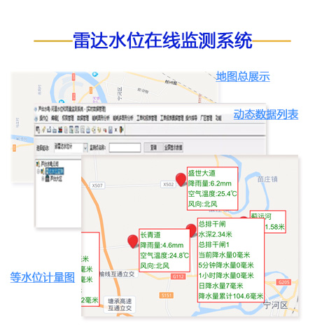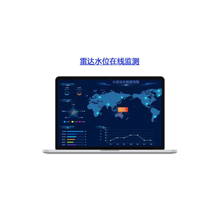

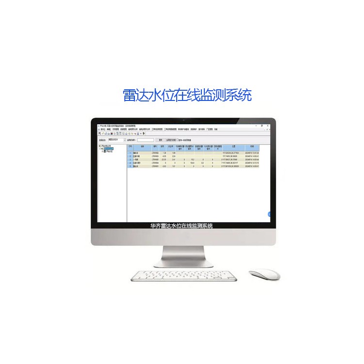
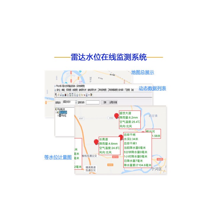


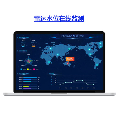
Introduction to Radar Water Level Online Monitoring System
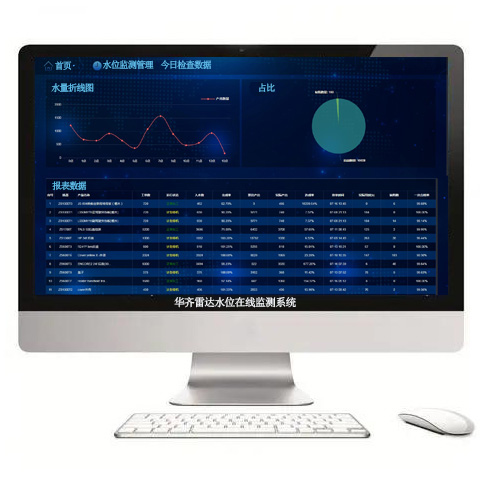
Huachi R&DThe system is an all-in-one automatic hydrological online monitoring system based on microwave technology. It simultaneously measures water levels within the channel, with the measurement process unaffected by factors such as temperature, silt, river pollutants, and floating debris on the water surface. This system provides continuous and accurate water level data.Helps water resource management departments understand the trends and magnitudes of water level fluctuations, thereby enabling reasonable planning and allocation of water resources to meet the needs of society and the economy.
Line Monitoring System Features:
High-Precision Measurement: Utilizing advanced radar and sensor technologies, it can achieve precise water level measurement.
2. Real-time Monitoring: The system can monitor water level changes in real-time, promptly detect anomalies, and provide timely data support for disaster early warning and emergency response.
3. Wide Coverage: Radar monitoring technology is unaffected by weather or lighting conditions, enabling stable operation in various environments and continuous monitoring of large areas.
4. High Automation: The system can automatically complete tasks such as data collection, processing, and transmission, significantly reducing labor costs and workload.
5. Immediate Early Warning: As soon as abnormal water levels are detected, the system promptly emits early warning messages, offering robust support for flood prevention and control efforts.
Additionally, the Radar Water Level Monitoring Management System has extensive applications in various fields. In flood and drought prevention, it can monitor river water levels and flow changes in real-time, providing crucial references for flood control and disaster reduction efforts. In water resource management, it supports the formulation of rational water allocation plans and optimizes water resource allocation with data. In ecological environment monitoring and protection, it evaluates the health of river ecosystems, offering data support for ecological conservation. In agricultural irrigation and urban water supply and drainage management, it also plays a significant role, providing precise data support for related work.