


Qingdao Bohang Technology{VehiclePositioningManagement SystemSystem stable, professional, and reliable; independently developed platform with customizable features; affordable prices with high cost-performance ratio.
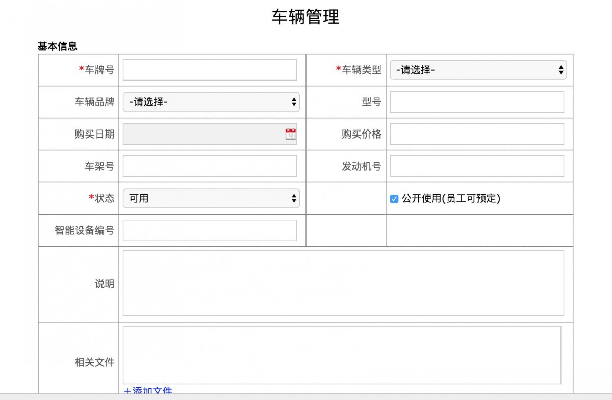
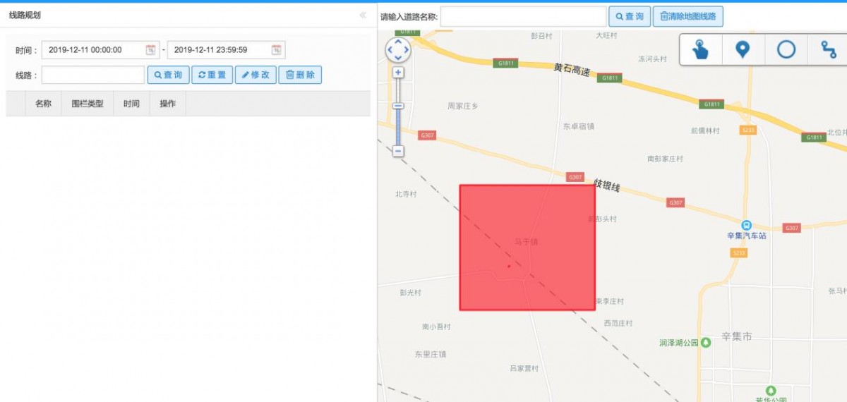
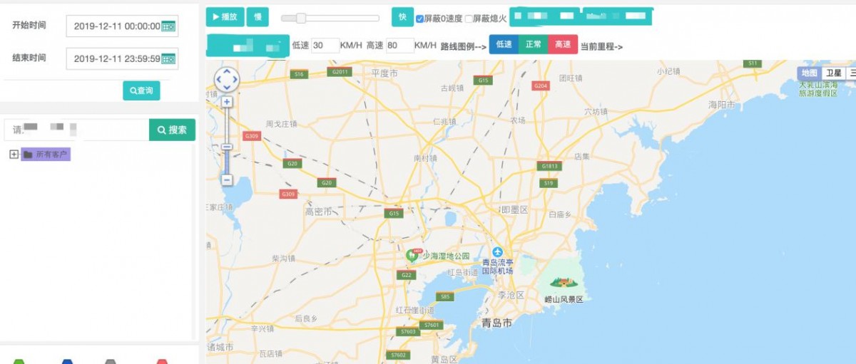
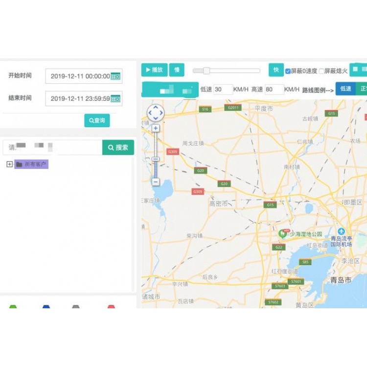
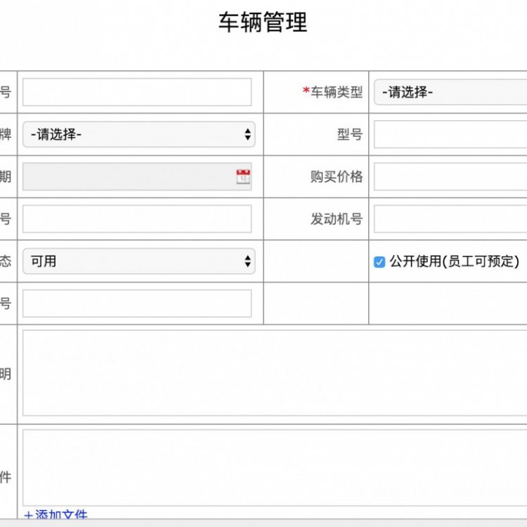
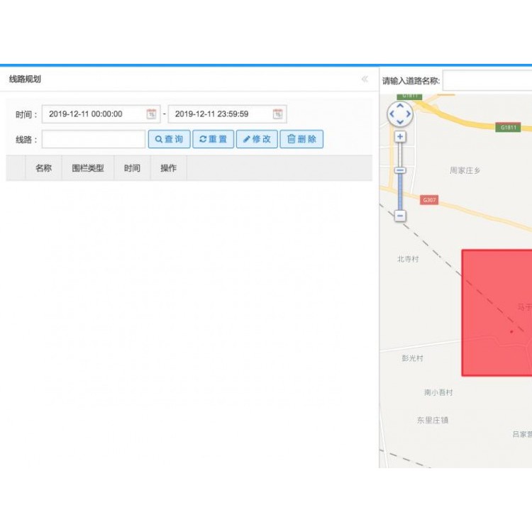
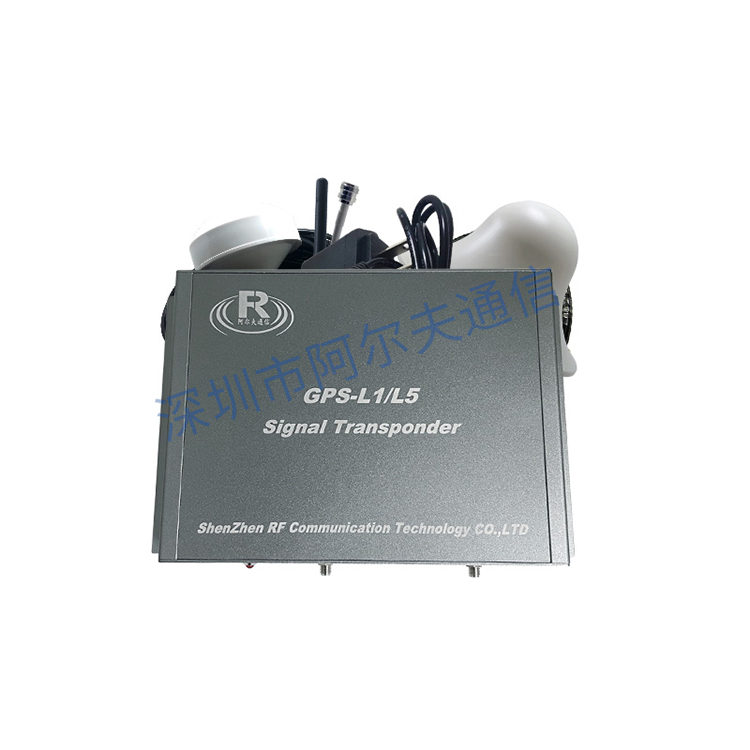
"System"Utilizing the most advanced satellite positioning and space communication technologyGIS Geospatial Information Technology, an information management system that interacts with mobile ground vehicles via wireless communication networks for information exchange, journey tracking, vehicle positioning, and real-time monitoring and scheduling. On the "System" platform, vehicle managers can monitor various performance and parameters of operating vehicles, including real-time positioning and image transmission. The Vehicle Dispatch and Management Center can view vehicle driving paths, vehicle positioning, over-speed alerts, fuel consumption monitoring, historical track and mileage statistics, and more on the "System" platform. The "System" also allows for planning vehicle driving routes and can provide real-time video transmission to observe the on-site operation status of front-line vehicles, thereby achieving intelligent management of vehicle operation information.