
 DJI Airport 3, deployable in vehicles for unmanned operations
 PJC8 Comprehensive Smart Pipeline Detector
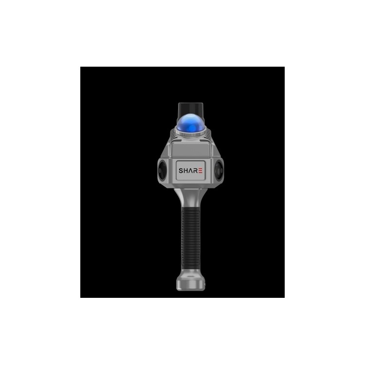
 Daqi Tiancheng SHARE505S PRO 51 Megapixel Medium Format Aerial Camera
 Sel S10 Portable 3D Laser Scanner
 GHJS12 explosion-proof portable 3D laser scanner
 S10 Real-Time 3D Laser Scanner
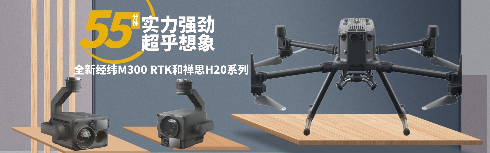
 DJI Airport 2+ Platform + AI Software
Product Details
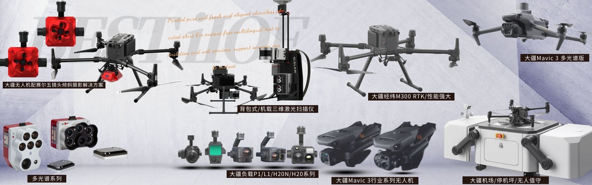
DJI drones and payloads, 3D laser scanners, ground-penetrating radar, multisp...

产品Price Negotiable
最小起订Quantity:1 Set 供货总Quantity: 20 Set


Weight |
|
Dimensions |
155*128*176 mm |
System Power Consumption |
28 W (typical) / 58 W (max) |
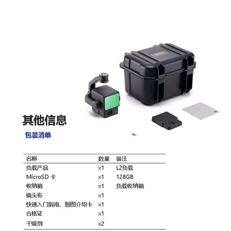
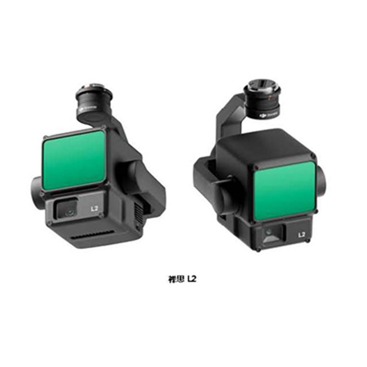
DJIZenithL2 Aboard High-Precision Integrated Surveying Lidar Mountainous Terrain Mapping 3D Realistic Modeling Shenzhen Pengjin Technology Co., Ltd. offers a variety of drone integration solutions and provides on-site demonstration services. Welcome to inquire.18320930028 Miss Lai L2 Product Positioning Next-generation airborne high-precision mapping LiDAR with high integration and cost-effectiveness. Highly integrated: frame-laser radar, high-precision self-developed inertial navigation, visible light mapping camera, and three-axis gimbal modules. End-to-end solution: paired with DJI Maps, it becomes an integrated solution for 3D data acquisition and high-precision post-processing. L2 Key Selling Points High precision, within 5 cm accuracy. High XIAO rate, 5 times improvement over the previous generation. High penetration, capable of penetrating dense forests. High range, 500 meters. Five echoes Ready to operate upon power-on DJI Terra post-processing is free. L2 Solution & Application Scenarios - Laser Radar Surveying Solution, one-stop full-process closed-loop. Includes: 1) Route Mission Planning: Pilot2 APP 2) Field Data Collection: Flying Platform (M350/M300 & RC PLUS), Payload (L2) 3) Data Processing: DJI Terra Typical Industries/User Surveying: Core focus on topographical surveying. 2) Construction: Core in earthwork measurement applications. 3) Power: Core on transmission line patrol 4) Forestry: Core focus on forestry surveys. DJIContemplationL2 Airborne High-Precision Integrated Surveying LiDAR Mountainous Terrain Mapping 3D Realistic Modeling Shenzhen Pengjin Technology Co., Ltd. offers various drone integration solutions and provides on-site demonstration services. Welcome to inquire.18320930028 Miss Lai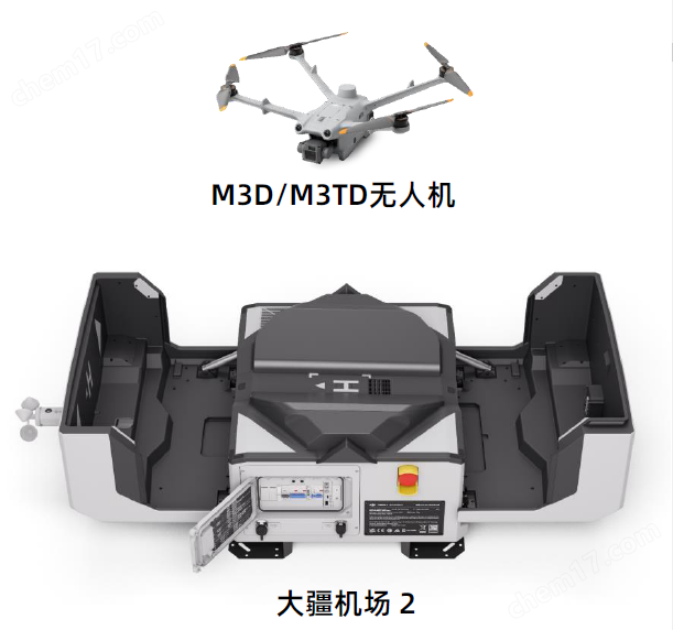


Phone Consultation
QQ Service