


- AllProduct Category
-
GNSS Receiver
Total Station
Total Station
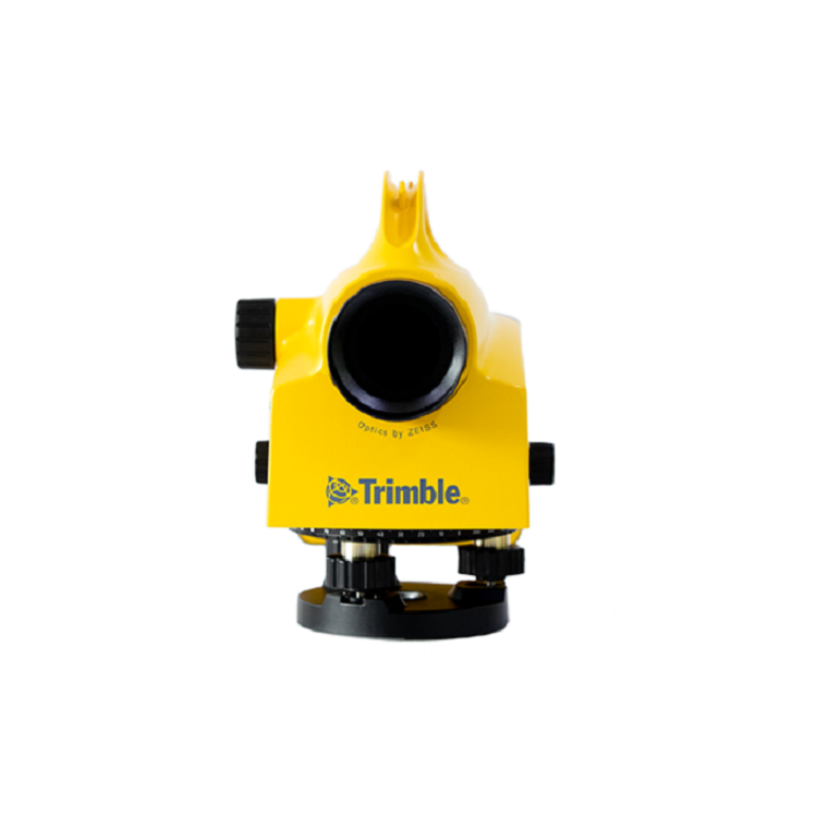
Level Gauge
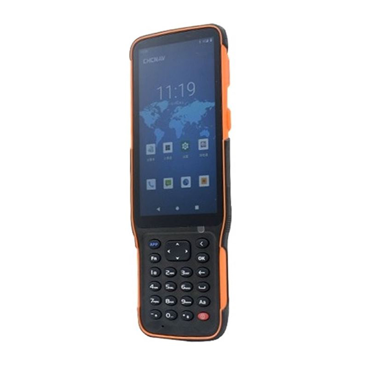
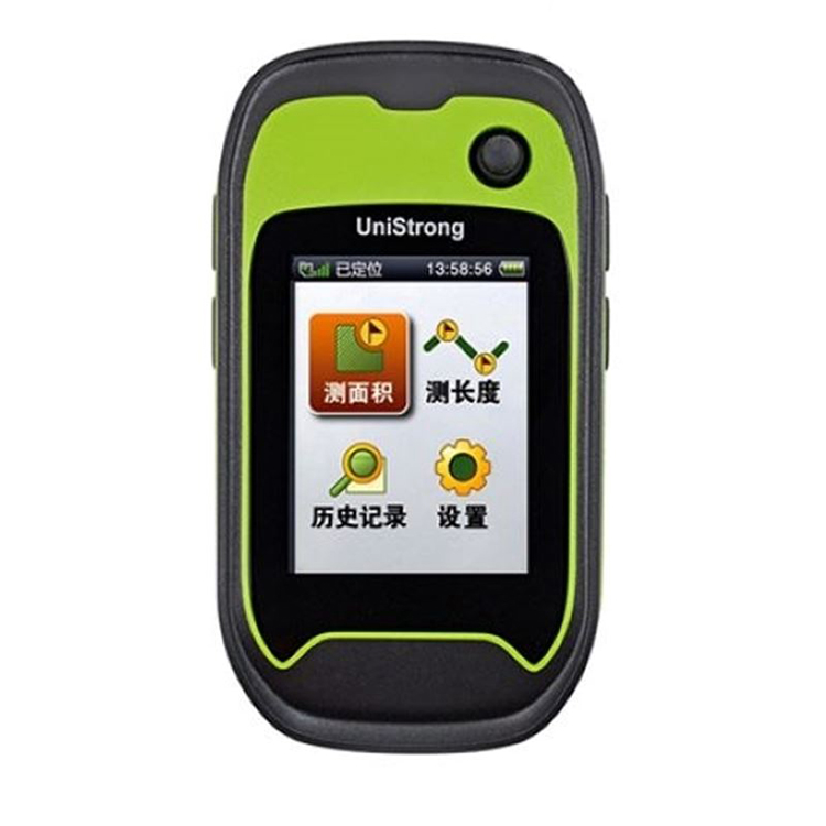
Handheld GPS
GIS Collector
UAV/3D Scanner
Inclination Meter
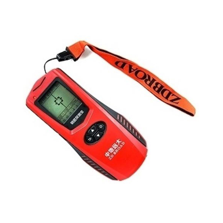
Rangefinder
Pipe Detection Instrument/Submersible Depth Sounder
Laser Level/Gauging Equipment
Beacon Transmitter
Two-Way Radio
Rebound Tester/Thickness Gauge
Instrument Accessories
Acremeter
Compass
Tunnel Cross-Section Gauge


详情描述
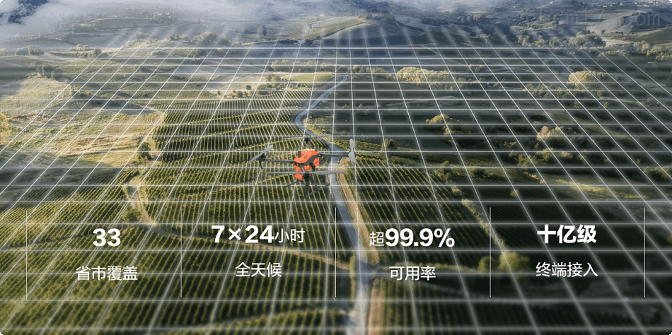
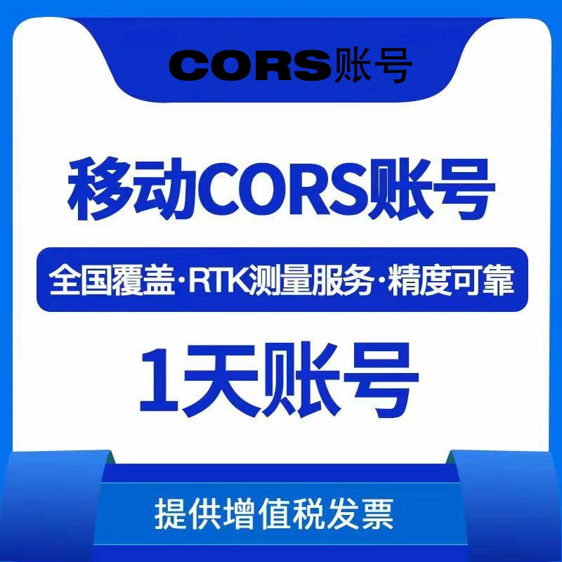
CORS Account: Huateng, Qianxun GPS RTK
Established in the surveying and mapping technology field, Nanjing Huawei Surveying & Mapping Instrument Co., Ltd. offers you a one-stop service. Specializing in renowned brands such as Trimble from the USA, Huazheng from Shanghai, and Nikon from Japan.
Word of Mouth · Highlights
Our company assembles a team of industry professionals, focusing on the sales, repair, calibration, and technical support of surveying instruments. As an authorized agent in Jiangsu Province, we provide high-quality equipment and technical support to sectors such as water conservancy and universities.
Popular Services
Covering surveying equipment, software wholesale, repair, and calibration. Offer technical consulting and rental services to ensure efficient operation for customers on surveying projects.
Service Commitment
We commit to offering high-quality, efficient, and competitively priced equipment, serving various engineering projects. Adhering to scientific management, we ensure comprehensive after-sales service, striving for customer satisfaction. We are dedicated to applying high-tech products in practical production, enhancing users' production efficiency and scientific research capabilities.
Nanjing Huawei Surveying & Mapping Equipment Co., Ltd. undertakes various surveying and mapping services in Nanjing and surrounding areas: coordinate, latitude and longitude, engineering surveying, foundation pit deformation observation, control point layout measurement, leveling, topographic mapping, area measurement, earthwork calculation, earthwork volume measurement, electrical survey layout, building axis layout, topographic drawing, aerial topographic survey, CAD drawing, oblique photography, real-time 3D model, and a series of surveying projects. The company boasts advanced surveying and mapping equipment: 3D oblique photography equipment, 3D laser scanner, Leica 0.5" precision robotic total station, Trimble DiNi 0.3 leveling instrument, various GPS surveying instruments, total stations, and more.
Our company offers sales, repair, calibration, and engineering survey services for measuring instruments. We undertake GPS engineering surveys in Nanjing and surrounding areas, including RTK coordinate staking, drone and unmanned vessel measurements, and a one-stop surveying and mapping service.
We undertake surveying and mapping projects, including topographic survey, cadastral survey, GPS survey, control survey, municipal engineering survey, line survey, building survey, settlement observation, construction layout, completion survey, steel structure survey, large equipment installation survey, town planning alignment and land demarcation survey, etc.
We now offer GPS RTK rental services: RTK rental, GPS RTK rental, Nanjing RTK rental, Jiangsu RTK rental, Trimble RTK, Kolida RTK, Sanding RTK, SuYiGuang RTK, Leica RTK, Pentax RTK, Nikon RTK, Topcon RTK, Sokkia RTK, Daily RTK rental, Monthly RTK rental.
Nanjing Dynamic GPS Rental
Nanjing Static GPS Rental & Lease
Jiangsu Province Measurement Instrument Rental
Nanjing Surveying Equipment Rental
Equipment Rental
Nanjing Total Station Rental
Nanjing Leveling Instrument for Surveying Equipment Rental
Nanjing Surveying Instrument Theodolite Rental
Total Station, Theodolite, Level, Plumb Bob, Tying Out Device, Walkie-Talkies, and various surveying instruments for rent/lease
Comprehensive product range, excellent service, and sophisticated technology