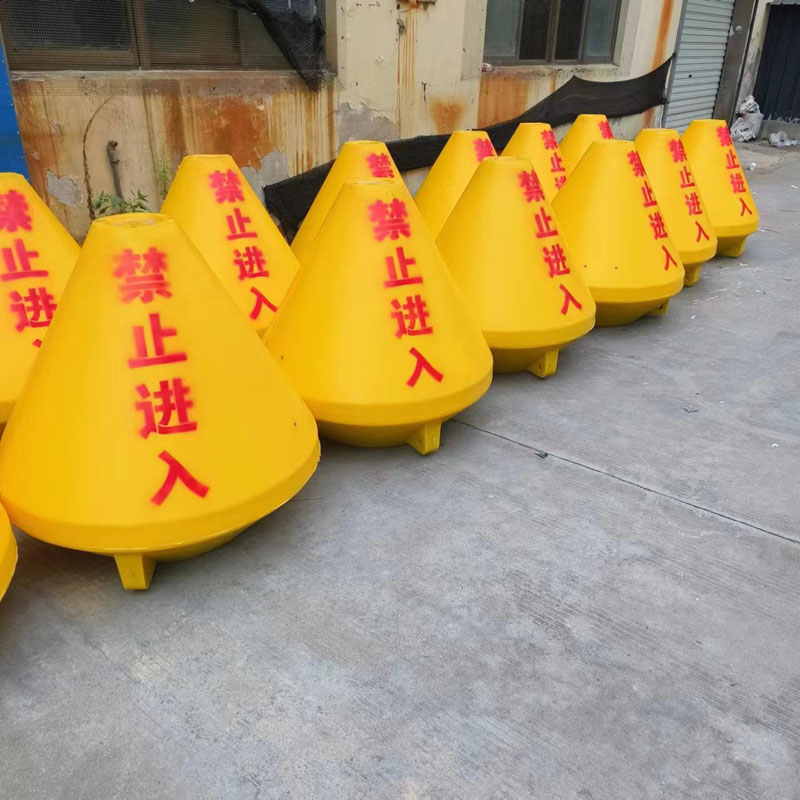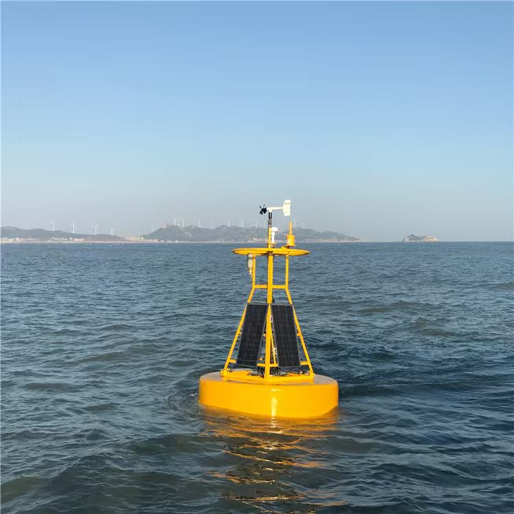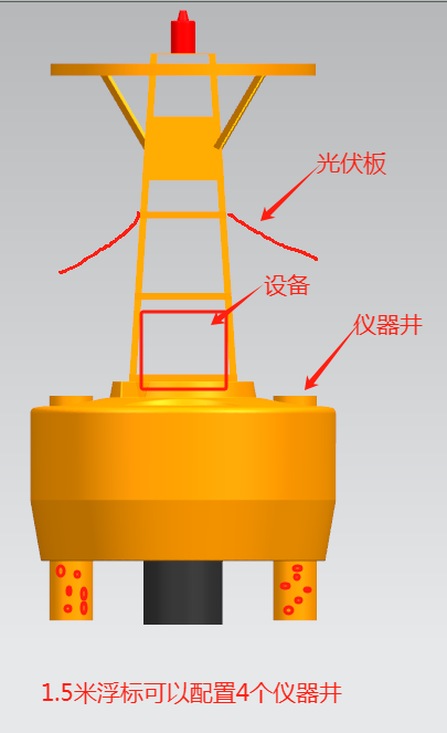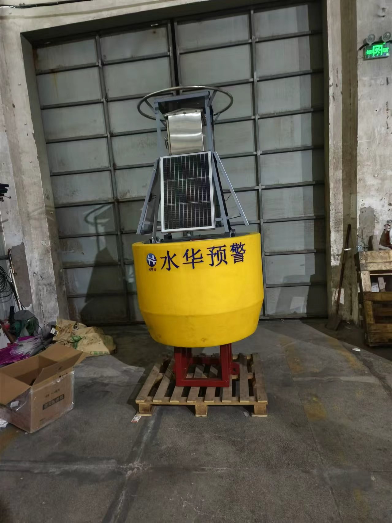


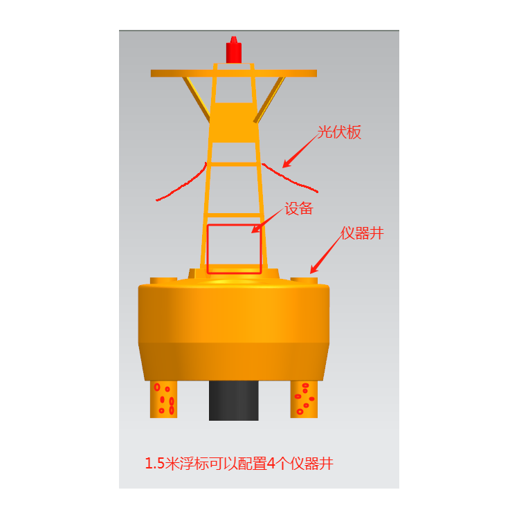
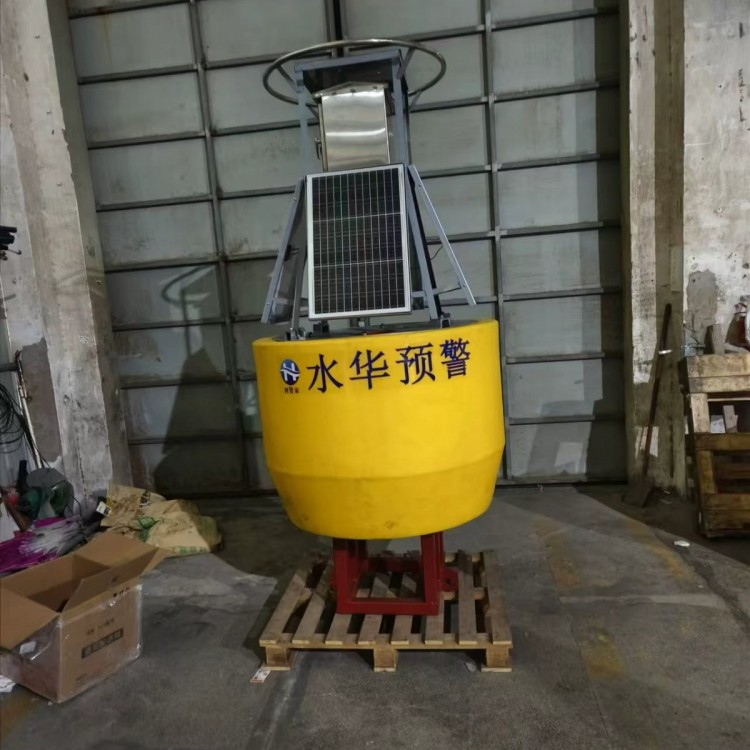


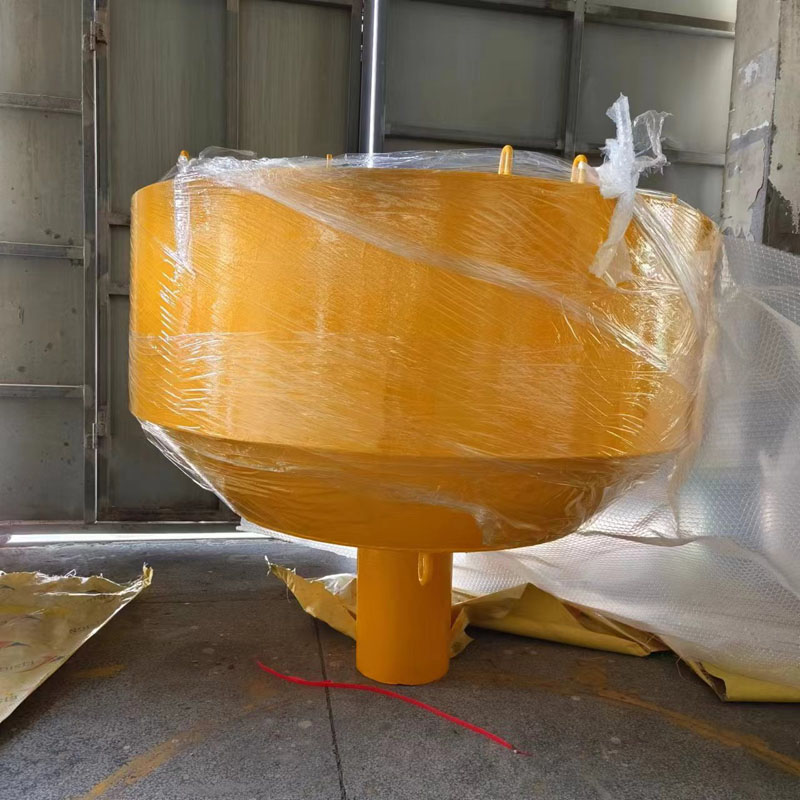


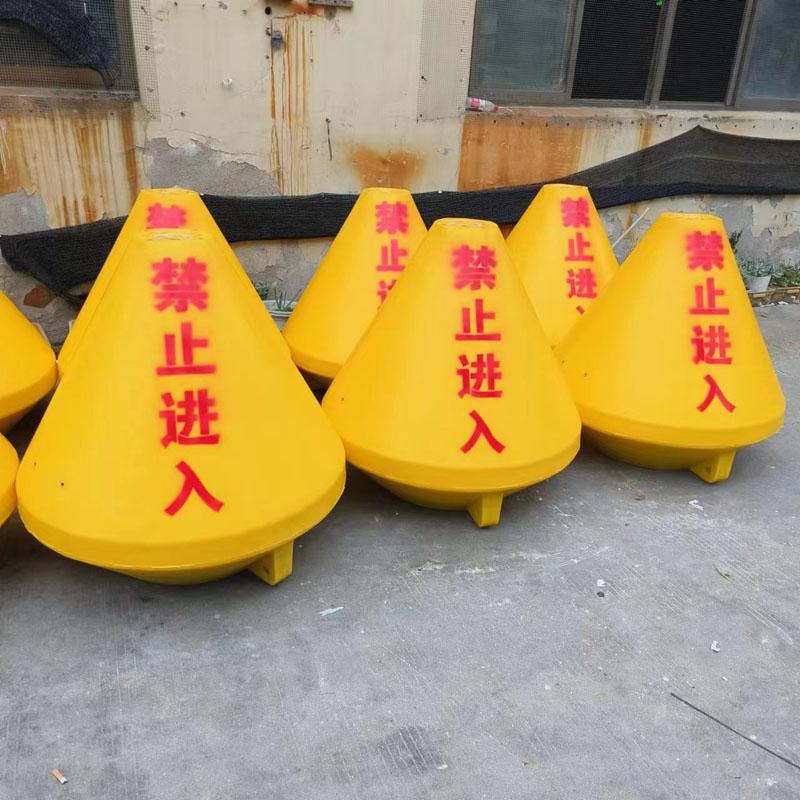
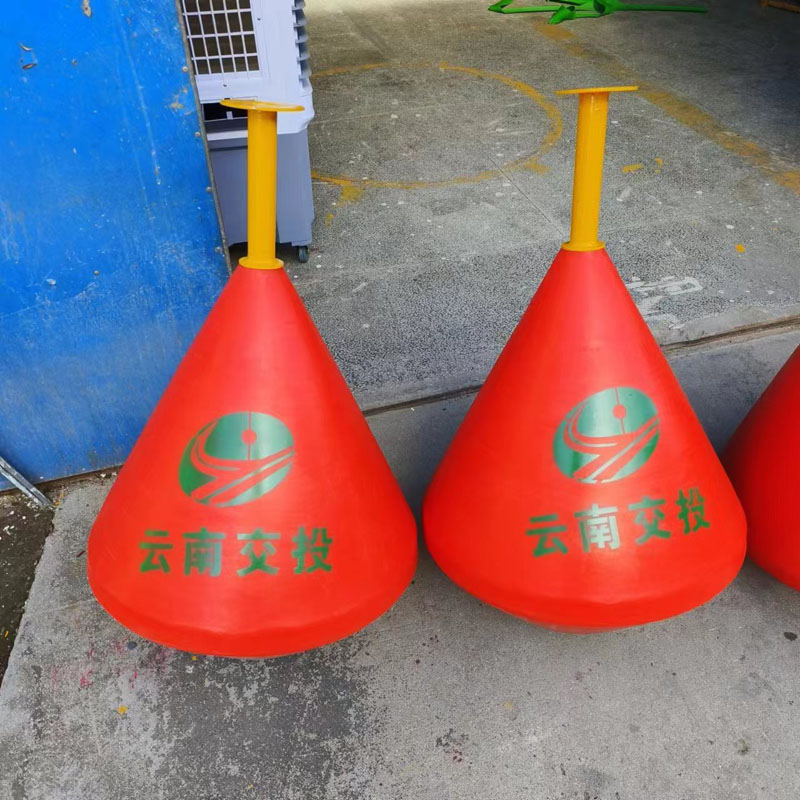
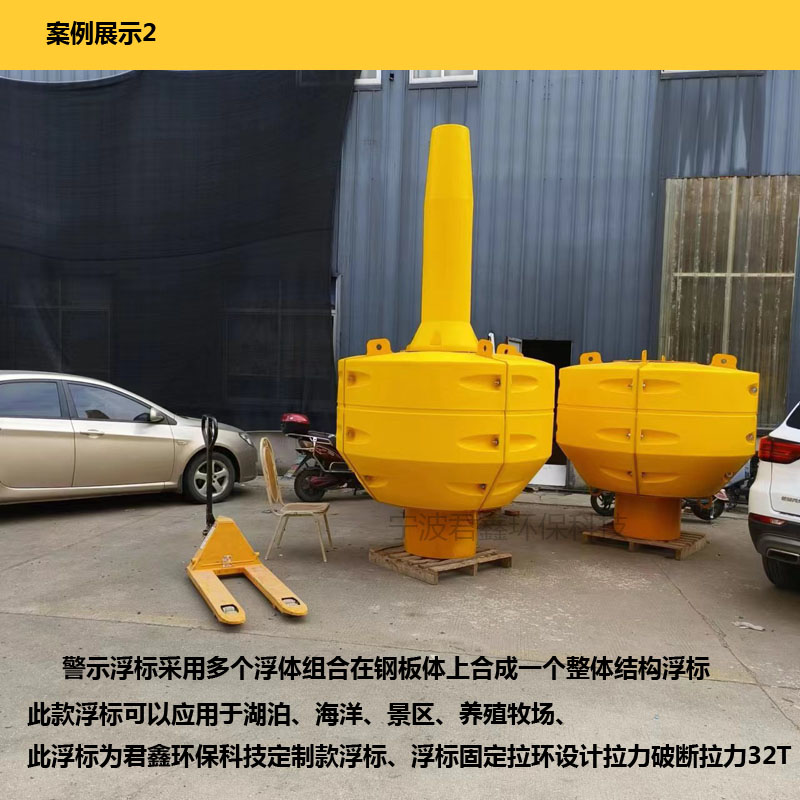
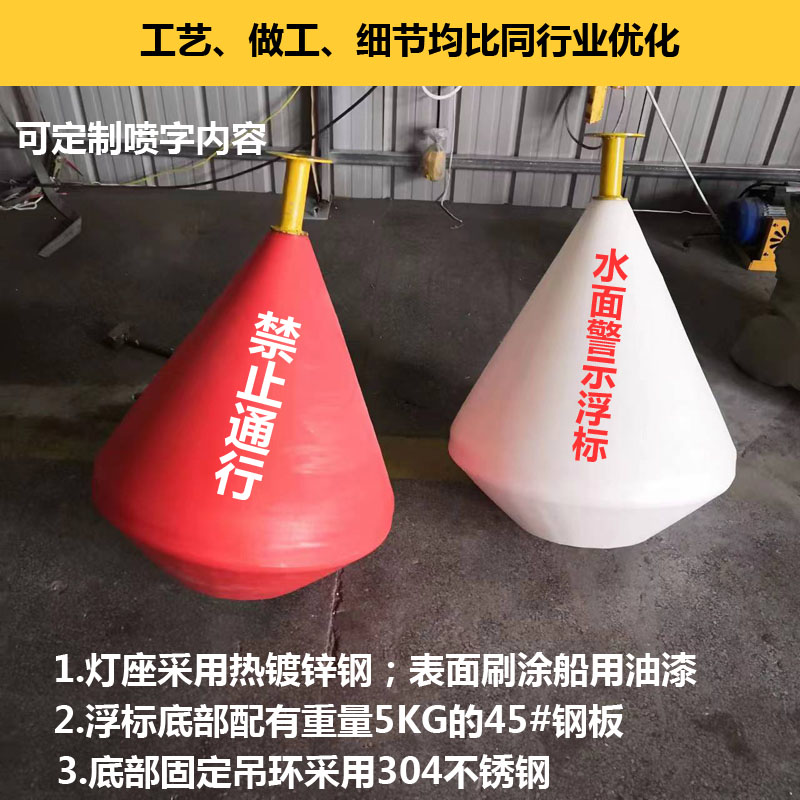
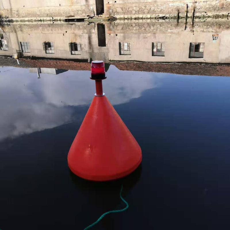
Marine Buoy Positioning and Warning Buoy
The buoy is made through a one-step molding process, featuring an LLDPE polyethylene shell, internally foamed, with the steel frame made of 304 stainless steel. All materials used are corrosion-resistant.
The placement of buoys should ensure an effective combination with shore markers, ensuring that each marker plays a significant role. Due to the shore markers' function, the factors causing malfunctions due to natural influences are fewer than those for buoys, so attention should be given to utilizing the shore markers effectively. When setting shore markers, the small navigational distance (commonly referred to as the effective distance) for the markers should be specified according to the specific conditions of each river section, starting from the waterline at the marker's location. When setting buoys, ensure that no obstructions less than the maintenance or revealing water depth exist within the straight line connecting two adjacent buoys or a buoy and a shore marker on the same side, within the specified small navigational distance. Under certain conditions, the small navigational distance for some buoys and waterway beacons may also be specified, starting from the marker's location. The water depth at the buoy setting location can be uniformly adjusted according to different maintenance water levels during various water levels. During high water periods, buoy placement should be adjusted to appropriately widen the channel while ensuring the maintenance water depth. During low water periods, the channel width can be gradually narrowed to maintain the maintenance water depth. The navigable range along the river channel of a deep channel section is generally twice the standard channel width. If the channel width along the riverbank is less than twice the channel width, side buoys indicating the channel limits should be set near the obstructions on the side of the channel. On wide river sections, the navigable range along the riverbank can be widened, but no more than one-third of the average width of the dry riverbed. During flood periods, as the riverbed widens and water depth and flow velocity increase, it is important to mark submerged riverbanks, islands, and other obstructions and to promptly open up economic channels.