


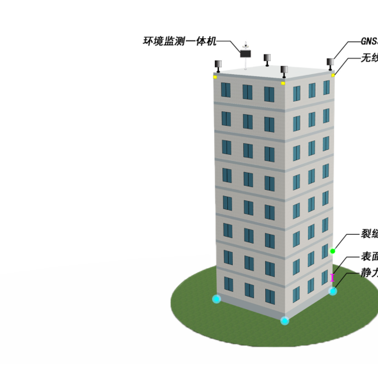

Automated Monitoring System Features
The main functions of the automated monitoring system are as follows:
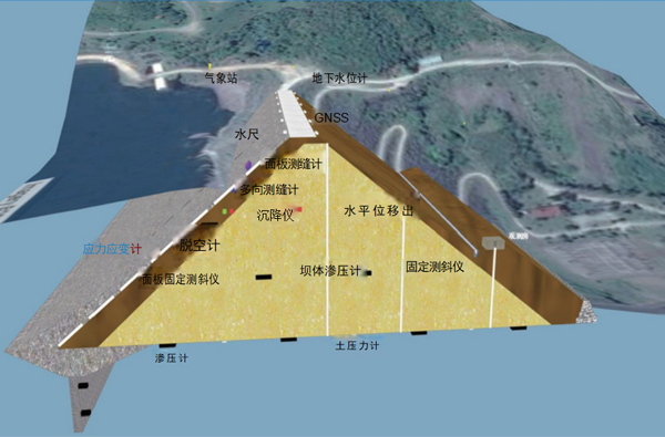
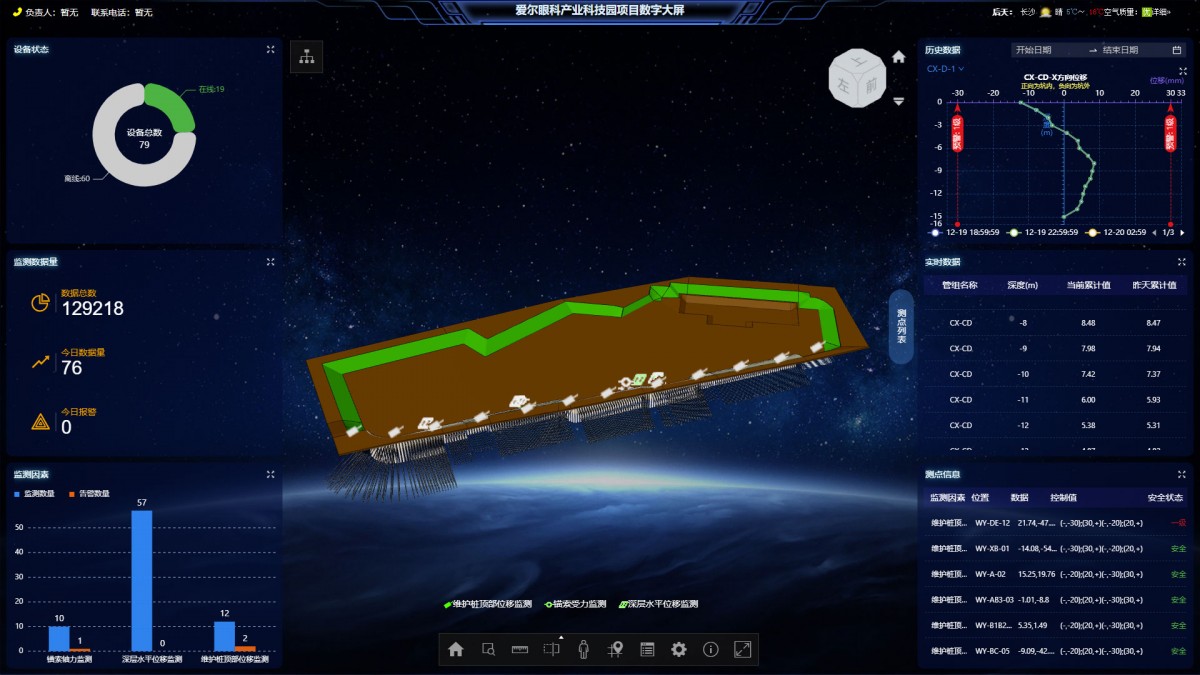
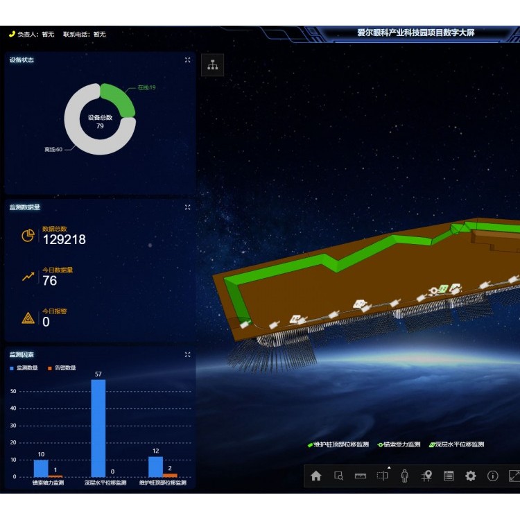
The main interface features a reservoir distribution map as its background, graphically displaying the locations of various reservoirs, current water levels, rainfall data, and equipment operational status.
◆ Centralized display of new water levels, current rainfall, cumulative rainfall, battery voltage, and on-site photos for various reservoir monitoring points, providing real-time dynamic curves for water level and rainfall.
◆ Data and on-site photos can be scheduled for updates; water levels and rainfall data at various monitoring points can be viewed at any time, and on-site photos of reservoirs can be remotely captured.
◆ When the reservoir water level is above the flood control level or below the dead water level, the system will alert through pop-up messages, alarm sounds, sending SMS alerts to relevant responsible parties, and automatically take on-site photos to send to the monitoring center.
Compatible with various data reporting methods such as self-reported and query-response; when using self-reported, it supports scheduled reporting and automatic over-limit reporting.
Historical query function for water level, rainfall, and alarm records, supporting Excel export and direct printing.
◆ Set any starting time to search for alarm photos within the specified period.
◆ Generate water level and rainfall statistics reports by time, day, month, ten-day period, and year; automatically create process curves for water level and rainfall.
◆ The reservoir monitoring terminal supports online parameter setting, online upgrades, and automatic time synchronization features.