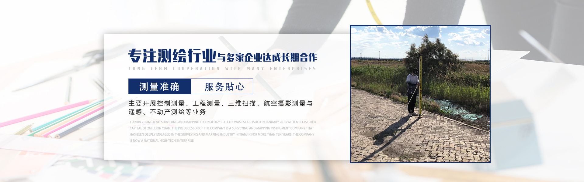
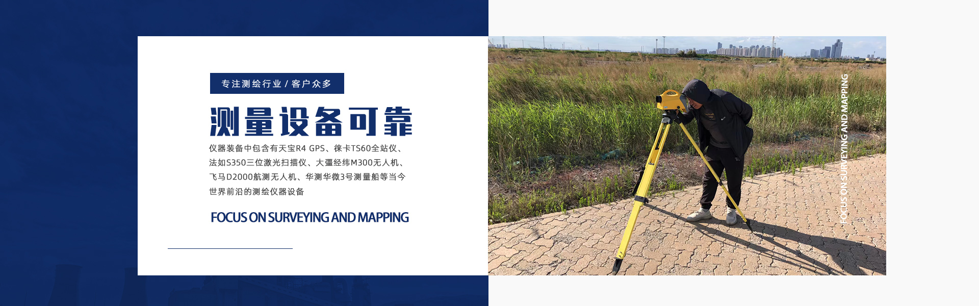
Tianjin Zhongteng Surveying & Mapping Technology Co., Ltd. was established in January 2013 with a registered capital of 2 million yuan. The company's predecessor was a surveying instrument company that had been deeply rooted in the Tianjin surveying industry for over a decade. With years of successful collaborations with major construction units in Tianjin, the company primarily engages in control surveying, engineering surveying, 3D scanning, aerial photogrammetry and remote sensing, as well as real estate (cadastral, property) surveying. The company's technical staff and senior management team are composed of a group of senior and intermediate surveying professionals. The company's equipment includes Trimble R10 GPS, Leica TS60 total station, Faro S350 3D laser scanner, Great Wall M300 theodolite, Phomar D2000 aerial surveying, and Huace Huwei No.3 surveying vessel, among the latest surveying equipment available. |

 Product Categories

 企业资料通过中商114认证