
 U.S. Decart RD1000
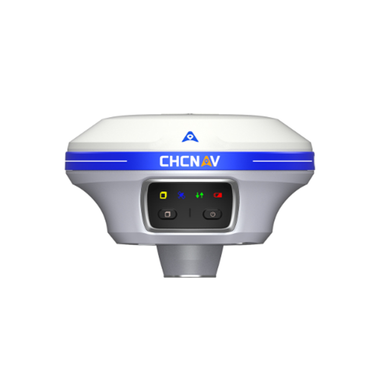 GPS--Huace X11
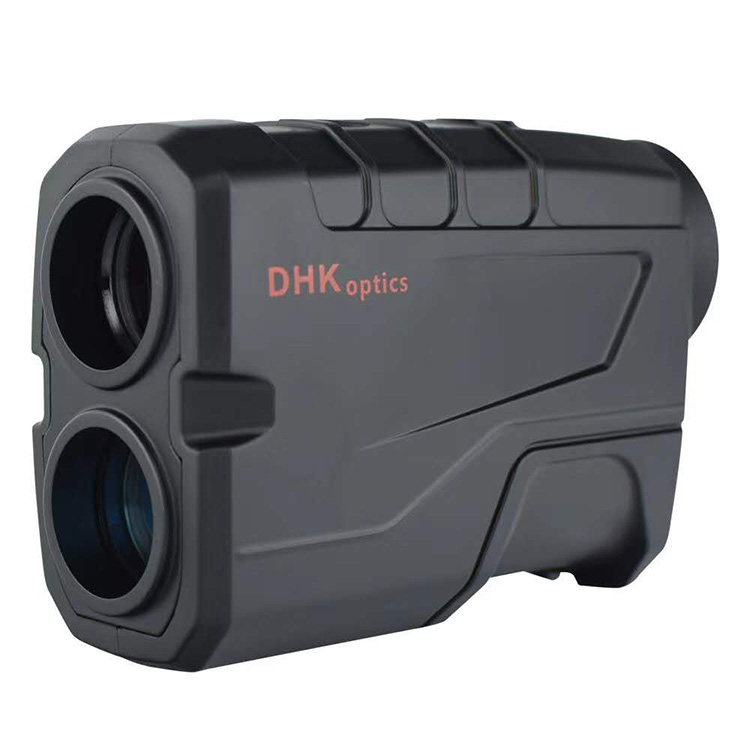
 Long-distance Rangefinder Telescope - Deepwave SW-1000A
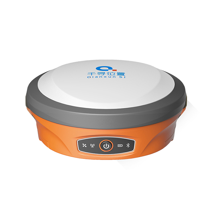 GPS -- iBeacon SR3
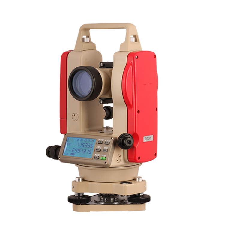 Theodolite -- KeliDA DT-02LL
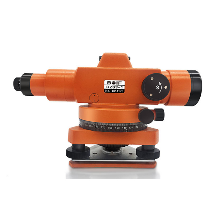 Level Gauge -- BoFeng DZS3-1 Level Gauge
 Level Gauge - Suzhou Yiguang DSZ2
Product Details


产品Price Negotiable
最小起订Quantity:100 Tai 供货总Quantity: 10000 Tai


Operating System: Android 4.0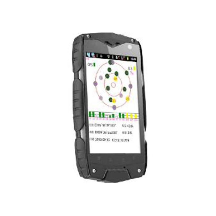
Display Screen: 4 inches, Capacitive Touchscreen, Multi-touch
Screen Resolution: 800480 pixels
CPU Frequency: 1024MHz, Dual Core
Battery Capacity: 3200mAh, Removable Battery
RAM Capacity: 1GB
ROM Capacity: 4GB
External Storage: MicroSD card, Expandable Capacity: 32GB
Standby Time: 200 hours (theoretical value)
Dimensions: 139x74x18.5mm
More Applications
Wireless Function: WIFI
Data Interface: Micro USB
Earphone Jack: 3.5mm
Built-in Bluetooth: 2.1+EDR+A2DP
Video Player: Supports 3GP/MP4, AVI, RMVB, and other formats; Radio, E-Book
Camera Function
Rear camera pixels: 8 megapixels
Front-facing camera pixels: 300,000
Sensor Type: CMOS
Flashlight: LED补光灯
Image Size: Up to 3264×2448 pixel photo shooting supported
Other Features: Enhanced Anti-Shake Photography Function
Software Extension Applications
Professional MeasuringFree GIS Data Collection System
Load the MGTG Mobile GIS Data Collection System for effortless point marking, area measurement, navigation, and other field measurement tasks.
Navigation Function:
Comprehensive navigation and detailed maps covering multiple cities across the nation, with intelligent route guidance. Real-time navigation information: displays real-time speed, altitude, heading, distance, time, and date, etc. Record information: capable of storing waypoints (including flat coordinates, altitude, time, name, description, and type), and supports area measurement using both track and route methods.
Information Storage Metrics:
Endless flight points, countless flight paths; each path can continuously record for 8 hours. Infinite flight paths, with each path containing up to 1,000 flight points. Area Calculation: Features intuitive area measurement, utilizes flight paths and routes for area calculation, and saves measurement records. Area measurement results are available in various units such as square meters, mu, and hectares. Supports changing the style and color of flight paths and tracks, and line styles include railway symbols.
Coordinate Conversion:
Users can set up a custom coordinate system, supporting CGCS2000 coordinates, and can view multiple coordinate systems simultaneously, including WGS84, Beijing 54, Xi'an 80, and custom coordinates.
Data Post-Processing:
Comes with the MGTG in-house data processing software, supporting import and export of various data formats (EXCEL, KML, TRL, MIF, DXF, SHP, TXT, etc.), and also supports importing and exporting data from various GPS brands such as Garmin, Magellan, and ZYSTAR. It features field mapping and printing capabilities.

Phone Consultation